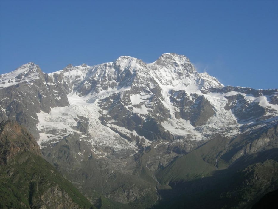
Geplante Verbindungsetappe ins Vale di Susa. Vom Hotel Jolanda Sport in Gressoney la Trinite starte ich früh und fahre nur immer abwärts über Issime nach Point-Saint-Martin (400m). Von dort geht es immer auf der Teerstraße über Ivrea und Chivasso nach Turin (360m). Durch Turin benötige ich eine gute Stunde, da es hunderte Ampeln und Kreuzungen gibt. Danach bekomme ich einen Hungerast und beschließe in Rosta (390m) zu übernachten, da es bis Susa (500m) doch noch ca.40km sind. Übernachtung im Hotel des Alpes*** in Rosta. Abendessen in einer benachbarten Pizzeria, wo ich nach den Abendessen schon akute Magenbeschwerden bekomme. Nachts dann mehrmaliges Erbrechen und kein Schlaf. Durchschnittsgeschwindigkeit~26.6km/h
Further information at
http://www.comune.torino.it/torinoplus/Galerie du tour
Carte du tour et altitude
Minimum height 180 m
Maximum height 1650 m
Commentaires

* entweder mit dem Fahrrad ab Martigny nach Lourtier Tour #46508, dann weiter über den Fenetre de Durand 2797m nach Ollomont 1370m Tour #44306 und dann über den Colle di Joux 1640m nach Champoluc 1570m Tour #45746 sowie von Champoluc über den Colle della Bettaforca 2650m nach Gressoney L`Trinite 1640m Tour #45745
*oder Auto bis Rosta
Tracks GPS
Trackpoints-
GPX / Garmin Map Source (gpx) download
-
TCX / Garmin Training Center® (tcx) download
-
CRS / Garmin Training Center® (crs) download
-
Google Earth (kml) download
-
G7ToWin (g7t) download
-
TTQV (trk) download
-
Overlay (ovl) download
-
Fugawi (txt) download
-
Kompass (DAV) Track (tk) download
-
Feuille de tours (pdf) download
-
Original file of the author (gpx) download
Add to my favorites
Remove from my favorites
Edit tags
Open track
My score
Rate


