
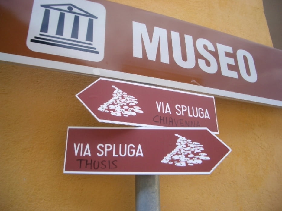

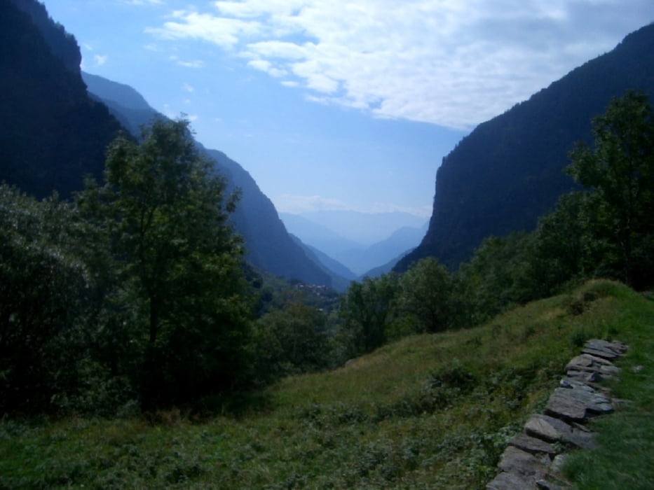
4. Etappe: Von Isola nach Chiavenna
Dem Lauf des Liro folgend durch die schattigen Kastanienwälder des Val San Giacomo ins südlich anmutende Chiavenna. Abgeschiedene Wallfahrtskirchen von San Giacomo Filippo und Gallivaggio, italienische Lebensart im vitalen Centro Storico von Chiavenna.
Von Isola links um dessen Stausee immer bergab via Campodolcino, Gallivaggio und S. Giacomo nach Chiavenna. Hier sind Wanderstöcke empfehlenswert, da es praktisch nur bergab geht.
Wer in Chiavenna angekommen vom Wandern nicht genug hat, der kann z.B. auf der Via Sett/Via Bregaglia in 5 Etappen nach Thusis zurückwandern...
Further information at
http://www.viaspluga.com/Galerie du tour

Carte du tour et altitude
Minimum height 341 m
Maximum height 1303 m
More about the tour author
|
|
ckjh |
Commentaires

Tracks GPS
Trackpoints-
GPX / Garmin Map Source (gpx) download
-
TCX / Garmin Training Center® (tcx) download
-
CRS / Garmin Training Center® (crs) download
-
Google Earth (kml) download
-
G7ToWin (g7t) download
-
TTQV (trk) download
-
Overlay (ovl) download
-
Fugawi (txt) download
-
Kompass (DAV) Track (tk) download
-
Feuille de tours (pdf) download
-
Original file of the author (gpx) download
More about the tour author
|
|
ckjh |
Add to my favorites
Remove from my favorites
Edit tags
Open track
My score
Rate