Login

Login oublié ?

Cookies have to be accepted!
Your browser's cookie functionality is disabled. Please enable this functionality.

Not a member yet?

Register now
Login

Available for registred users only

Log in to use this feature.

Login oublié ?

Cookies have to be accepted!
Your browser's cookie functionality is disabled. Please enable this functionality.

Not a member yet?

Register now
Filter
Catégories
Advanced filters
  • Longueur (km)
  • Altimètre
Enregistrer le filtre Reset filter

TrackRank

QRCode

Technical data

Longueur29,0 km Altimètre927 m Way down913 m Durée02:00 h:m Date07.10.2009
Evaluations Author Paysage Aspect amusement Condition Technique

Statistiques

1982 Vues 1 Evaluation 391 Téléchargements 4.00 Moyenne
Rate
  • Feuille de tours
  • Arrivée
  • Téléchargements

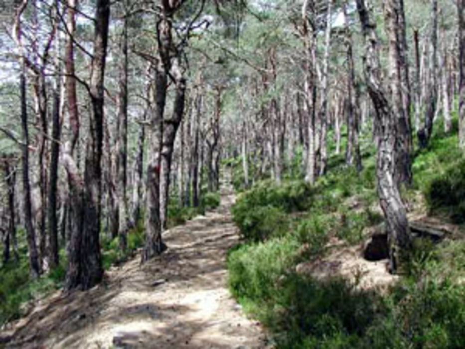
Die Tour führt meist auf Singletrails rund um den Kalmit. Eine bergauf sowie bergab technisch anspruchsvolle Tour, mit hohem Spassfaktor. Auf keinenfall was für Anfänger!

Carte du tour et altitude

  • Open Street Map
  • Google
Minimum height 273 m Maximum height 616 m Vue de détail

More about the tour author

ManiacRider
Member since 2009

Send private message

Commentaires

Tracks GPS

Trackpoints
  • GPX / Garmin Map Source (gpx) download
  • TCX / Garmin Training Center® (tcx) download
  • CRS / Garmin Training Center® (crs) download
  • Google Earth (kml) download
  • G7ToWin (g7t) download
  • TTQV (trk) download
  • Overlay (ovl) download
  • Fugawi (txt) download
  • Kompass (DAV) Track (tk) download
  • Feuille de tours (pdf) download
  • Original file of the author (gpx) download

More about the tour author

ManiacRider
Member since 2009

Send private message
Share track
Add to my favorites
Remove from my favorites
Edit tags
My score
Rate
Tour: Singletrails rund um die Kalmit
Cat.: Mountainbike
Longueur: 29,0 km
Evaluated on:
Durée:
Day(s)
Hour(s)
Minute(s)
Evaluation: Paysage Aspect amusement Condition Technique