

Ausgangspunkt ist der Parkplatz beim Gasthaus Remiese
Von Unterach bis Uterburgau Asphalt
Ab dann Schotterwege die gleich ziemlich Steil hoch gehen
Bis zur Abzweigung Schwarzensee Eisenau, dort Richtung Eisenau
Noch ca. 40min.
Dann gibts ein gutes Bier
Von dort Richtung Schafling
Der Beginn der Abfahrt ist Äusserst hortig und nich gerade ungefährlich
Unten angekommen wieder auf der Strasse dem Mondsee entlang Richtung Unterach
Nach der Brücke wieder rechts in einen Wanderweg und zurück zum Augangspunkt
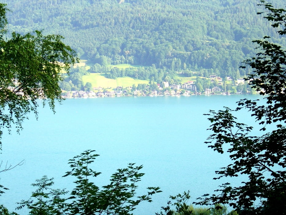
Galerie du tour


Carte du tour et altitude
Minimum height 465 m
Maximum height 1017 m
More about the tour author
|
|
egon1 |
Commentaires

Tracks GPS
Trackpoints-
GPX / Garmin Map Source (gpx) download
-
TCX / Garmin Training Center® (tcx) download
-
CRS / Garmin Training Center® (crs) download
-
Google Earth (kml) download
-
G7ToWin (g7t) download
-
TTQV (trk) download
-
Overlay (ovl) download
-
Fugawi (txt) download
-
Kompass (DAV) Track (tk) download
-
Feuille de tours (pdf) download
-
Original file of the author (gpx) download
More about the tour author
|
|
egon1 |
Add to my favorites
Remove from my favorites
Edit tags
Open track
My score
Rate