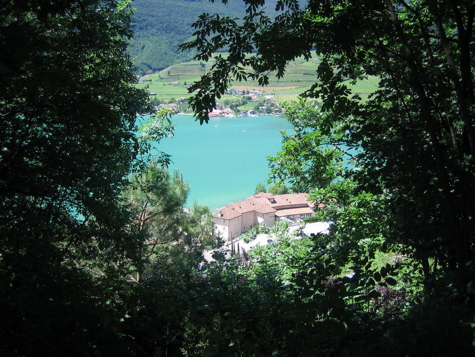
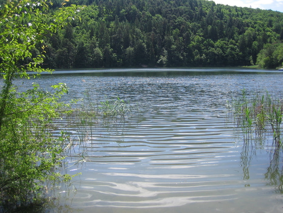
Genusstour im Montiggler Wald.
Mein Sohn (9Jahre) und ich fanden die Tour spitze.
Wer möchte kann ein Badestop einlegen.
Es sind einige schöne Trailpassagen enthalten.
Übrigens, die Tour wurde auch mal vom Bikemagazin empfohlen.
Wir sind sie fast original wie im Heft beschrieben gefahren.
Further information at
http://www.mountainbike-magazin.de/reise/touren/italien/italien/suedtirol/infos-roadbook-und-gps-daten-zur-tour-montiggler-wald.251422.2.htmGalerie du tour
Carte du tour et altitude
Minimum height 215 m
Maximum height 632 m
Commentaires
Siehe Daten.
Wir sind am Campingplatz St Josef am Kalterer See gestartet.
Tracks GPS
Trackpoints-
GPX / Garmin Map Source (gpx) download
-
TCX / Garmin Training Center® (tcx) download
-
CRS / Garmin Training Center® (crs) download
-
Google Earth (kml) download
-
G7ToWin (g7t) download
-
TTQV (trk) download
-
Overlay (ovl) download
-
Fugawi (txt) download
-
Kompass (DAV) Track (tk) download
-
Feuille de tours (pdf) download
-
Original file of the author (gpx) download
Add to my favorites
Remove from my favorites
Edit tags
Open track
My score
Rate


Von Kaltern zu den Montiggler Seen