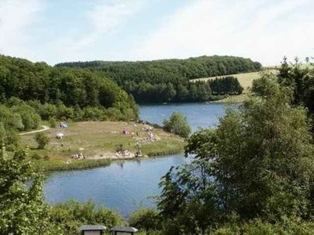
Leichte, aber längere Tour vom historischen Städtchen Blankenheim zum Bade-Event am Freilinger See. Am See, unterwegs in Reetz und natürlich in Blankenheim Einkehrmöglichkeiten. Im zweiten Teil der Wanderung schöne Rundumsicht über die Eifel.
Man sollte die Tour früh beginnen, damit man noch etwas Zeit für eine Blankenheim-Besichtigung hat oder im See eine Badepause einlegt...
Man sollte die Tour früh beginnen, damit man noch etwas Zeit für eine Blankenheim-Besichtigung hat oder im See eine Badepause einlegt...
Carte du tour et altitude
Minimum height 430 m
Maximum height 629 m
Commentaires

Die A1 aus Rchtg. Köln nach Süden bis zum Ende folgen, dann der Beschilderung nach Blankenheim folgen. Dort gibt es z.T. kostenpflichtige Parkplätze.
Tracks GPS
Trackpoints-
GPX / Garmin Map Source (gpx) download
-
TCX / Garmin Training Center® (tcx) download
-
CRS / Garmin Training Center® (crs) download
-
Google Earth (kml) download
-
G7ToWin (g7t) download
-
TTQV (trk) download
-
Overlay (ovl) download
-
Fugawi (txt) download
-
Kompass (DAV) Track (tk) download
-
Feuille de tours (pdf) download
-
Original file of the author (gpx) download
Add to my favorites
Remove from my favorites
Edit tags
Open track
My score
Rate

