Login

Login oublié ?

Cookies have to be accepted!
Your browser's cookie functionality is disabled. Please enable this functionality.

Not a member yet?

Register now
Login

Available for registred users only

Log in to use this feature.

Login oublié ?

Cookies have to be accepted!
Your browser's cookie functionality is disabled. Please enable this functionality.

Not a member yet?

Register now
Filter
Catégories
Advanced filters
  • Longueur (km)
  • Altimètre
Enregistrer le filtre Reset filter

TrackRank

QRCode

Technical data

Longueur527,2 km Altimètre2549 m Way down2550 m Durée1 day 8 h Date11.10.2009
Evaluations Author Paysage Aspect amusement Condition Technique

Statistiques

660 Vues Evaluations 208 Téléchargements Moyenne
Rate
  • Feuille de tours
  • Arrivée
  • Téléchargements

Der Altmarkrundkurs verläuft hauptsächlich auf befestigten Wald- und Feldwegen mit

geringen Steigungen, häufig durch Flußauen und Wiesen, sowie auf wassergebundenen

Abschnitten und Landstraßen mit geringem Verkehrsaufkommen.
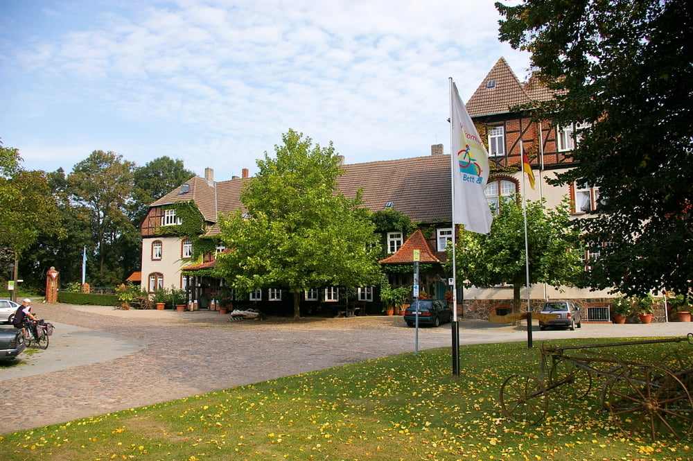
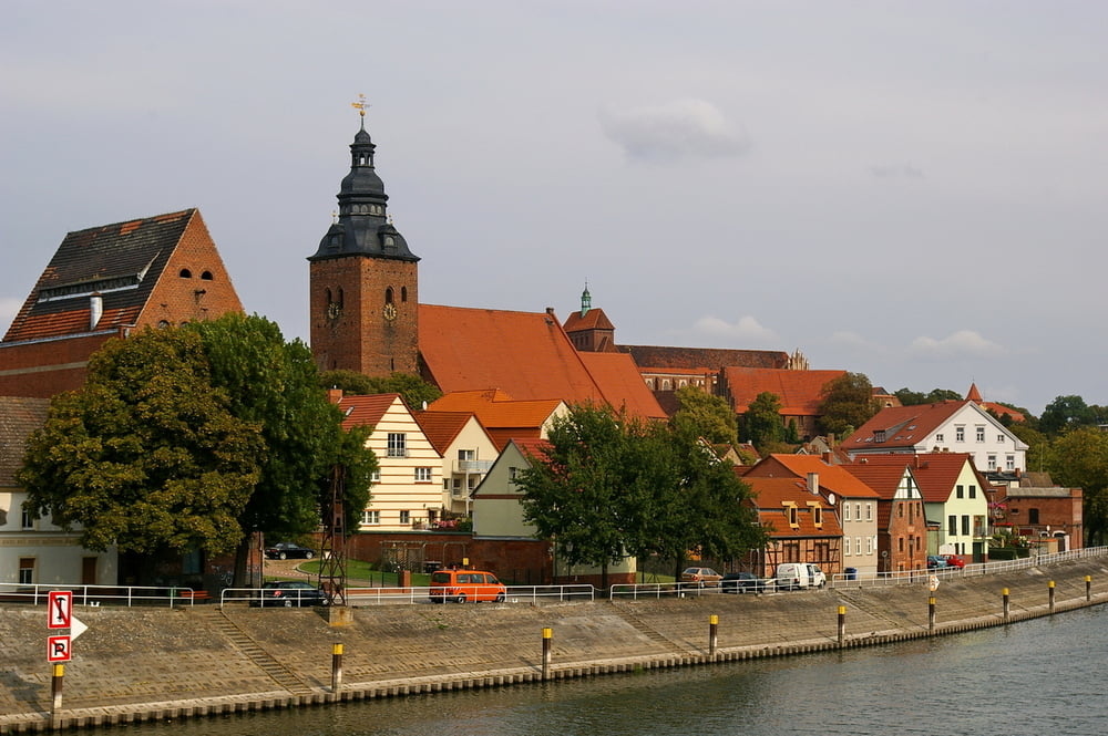
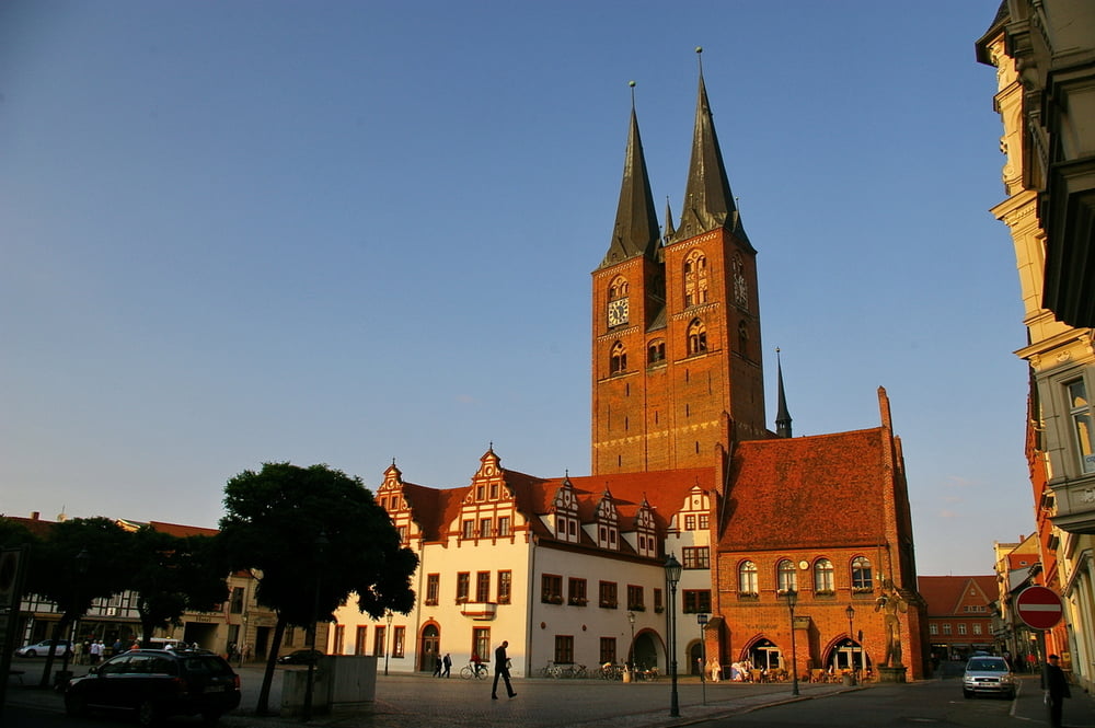
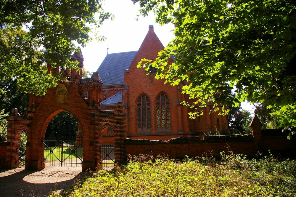
 

Galerie du tour

Carte du tour et altitude

  • Open Street Map
  • Google
Minimum height -28 m Maximum height 161 m Vue de détail

More about the tour author

pcwhorn
Member since 2008

Send private message

Commentaires

Tracks GPS

Trackpoints
  • GPX / Garmin Map Source (gpx) download
  • TCX / Garmin Training Center® (tcx) download
  • CRS / Garmin Training Center® (crs) download
  • Google Earth (kml) download
  • G7ToWin (g7t) download
  • TTQV (trk) download
  • Overlay (ovl) download
  • Fugawi (txt) download
  • Kompass (DAV) Track (tk) download
  • Feuille de tours (pdf) download
  • Original file of the author (gpx) download

More about the tour author

pcwhorn
Member since 2008

Send private message
Share track
Add to my favorites
Remove from my favorites
Edit tags
My score
Rate
Tour: Altmarkrundkurs
Cat.: Trekkingbike
Longueur: 527,2 km
Evaluated on:
Durée:
Day(s)
Hour(s)
Minute(s)
Evaluation: Paysage Aspect amusement Condition Technique