Login

Login oublié ?

Cookies have to be accepted!
Your browser's cookie functionality is disabled. Please enable this functionality.

Not a member yet?

Register now
Login

Available for registred users only

Log in to use this feature.

Login oublié ?

Cookies have to be accepted!
Your browser's cookie functionality is disabled. Please enable this functionality.

Not a member yet?

Register now
Filter
Catégories
Advanced filters
  • Longueur (km)
  • Altimètre
Enregistrer le filtre Reset filter

TrackRank

QRCode

Technical data

Longueur155,5 km Altimètre2760 m Way down2759 m Durée10:05 h:m Date14.10.2009
Evaluations Author Paysage Aspect amusement Condition Technique

Statistiques

796 Vues 1 Evaluation 265 Téléchargements 3.00 Moyenne
Rate
  • Feuille de tours
  • Arrivée
  • Téléchargements

Wir fahren die Tour einmal jährlich zum Herbstanfang an einem Tag

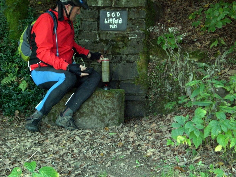
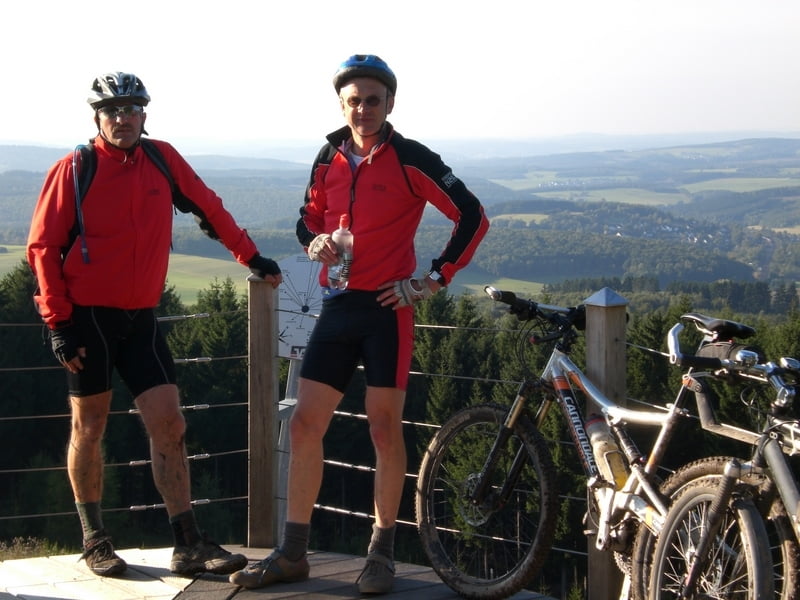
Die Tour führt überwiegend über Waldwege der Start und Ziel war Emmerzhausen was ca 3 Km vom Höhenring entfernt liegt gefahren sind wir dann rechtsherum in Richtung Herdorf

Galerie du tour

Carte du tour et altitude

  • Open Street Map
  • Google
Minimum height 205 m Maximum height 663 m Vue de détail

More about the tour author

Pfeilschnell
Member since 2008

Send private message

Commentaires

Tracks GPS

Trackpoints
  • GPX / Garmin Map Source (gpx) download
  • TCX / Garmin Training Center® (tcx) download
  • CRS / Garmin Training Center® (crs) download
  • Google Earth (kml) download
  • G7ToWin (g7t) download
  • TTQV (trk) download
  • Overlay (ovl) download
  • Fugawi (txt) download
  • Kompass (DAV) Track (tk) download
  • Feuille de tours (pdf) download
  • Original file of the author (gpx) download

More about the tour author

Pfeilschnell
Member since 2008

Send private message
Share track
Add to my favorites
Remove from my favorites
Edit tags
My score
Rate
Tour: Siegerlandhöhenring
Cat.: Mountainbike
Longueur: 155,5 km
Evaluated on:
Durée:
Day(s)
Hour(s)
Minute(s)
Evaluation: Paysage Aspect amusement Condition Technique