Login

Login oublié ?

Cookies have to be accepted!
Your browser's cookie functionality is disabled. Please enable this functionality.

Not a member yet?

Register now
Login

Available for registred users only

Log in to use this feature.

Login oublié ?

Cookies have to be accepted!
Your browser's cookie functionality is disabled. Please enable this functionality.

Not a member yet?

Register now
Filter
Catégories
Advanced filters
  • Longueur (km)
  • Altimètre
Enregistrer le filtre Reset filter

TrackRank

QRCode

Technical data

Longueur20,5 km Altimètre186 m Way down64 m Durée00:00 h:m Date16.10.2009
Evaluations Author Paysage Aspect amusement Condition Technique

Statistiques

529 Vues Evaluations 78 Téléchargements Moyenne
Rate
  • Feuille de tours
  • Arrivée
  • Téléchargements
Kurze Mountainbiketour mit Startpunkt in Oftersheim Hardtwaldsiedlung. Die Tour geht zuerst um den Hockenheimring und danach durch den Oftersheimer Wald.
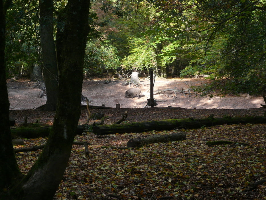
Galerie du tour

Carte du tour et altitude

  • Open Street Map
  • Google
Minimum height -22 m Maximum height 122 m Vue de détail

More about the tour author

VoMo
Member since 2008

Send private message

Commentaires

Tracks GPS

Trackpoints
  • GPX / Garmin Map Source (gpx) download
  • TCX / Garmin Training Center® (tcx) download
  • CRS / Garmin Training Center® (crs) download
  • Google Earth (kml) download
  • G7ToWin (g7t) download
  • TTQV (trk) download
  • Overlay (ovl) download
  • Fugawi (txt) download
  • Kompass (DAV) Track (tk) download
  • Feuille de tours (pdf) download
  • Original file of the author (gpx) download

More about the tour author

VoMo
Member since 2008

Send private message
Share track
Add to my favorites
Remove from my favorites
Edit tags
My score
Rate
Tour: Oftersheimer Dünentour
Cat.: Mountainbike
Longueur: 20,5 km
Evaluated on:
Durée:
Day(s)
Hour(s)
Minute(s)
Evaluation: Paysage Aspect amusement Condition Technique