


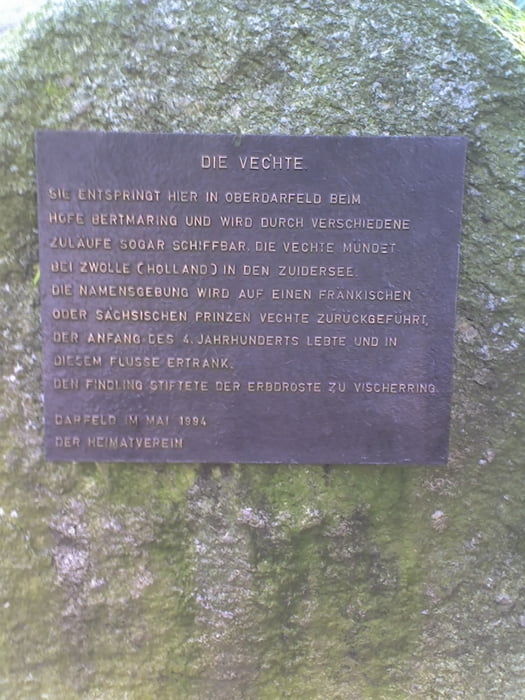
Schöne Wanderstrecke von Billerbeck nach Darfeld und zurück nach Billerbeck. Unterwegs vorbei an der Vechta-Quelle
Galerie du tour
Carte du tour et altitude
Minimum height 24 m
Maximum height 166 m
More about the tour author

|
Kalimero |
Commentaires
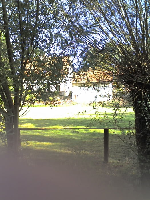
Start in einem Wohngebiet
Tracks GPS
Trackpoints-
GPX / Garmin Map Source (gpx) download
-
TCX / Garmin Training Center® (tcx) download
-
CRS / Garmin Training Center® (crs) download
-
Google Earth (kml) download
-
G7ToWin (g7t) download
-
TTQV (trk) download
-
Overlay (ovl) download
-
Fugawi (txt) download
-
Kompass (DAV) Track (tk) download
-
Feuille de tours (pdf) download
-
Original file of the author (gpx) download
More about the tour author
|
|
Kalimero |
Add to my favorites
Remove from my favorites
Edit tags
Open track
My score
Rate
schlechte Wege
die Waldwege im westlichen Teil der Strecke größtenteils schwer beschädigt wären (evtl. durch schwere Holztransporte??). Und dann hat man Müll (kleine und auch sehr große Brocken) von Ziegelsteinen, Dachziegeln, Fliesen, Natursteinplatten und Betonklötzen hineingekippt. Das sieht nicht nur aus wie Müllkippe, es geht sich auch so darauf. Vielleicht wird es ja nach einer Trockenperiode etwas besser: Dann verschwindet wenigstens der tiefe Schlamm . . .