

Dies Ist eine Mountainbike Tour der Radsportabteilung des HAT - Hilden.
Sie beginnt auf dem Parkplatz des HAT, führt von dort aus durch den Hildener Stadtwald nach Leichlingen. Von dort aus durch das Muhrbachtal an Burscheid vorbei, nach Witzhelden.
Denn weiter um die Sengbachtalsperre nach Solingen Glüdern, ab da immer an der Wupper entlang wieder nach Hilden zurück.
Jeden Sonntag Ausfahrt der Radsportabteilung mit dem Mountainbike oder Rennrad.
Gäste sind immer Willkommen, Treffpunkt 10,00 Uhr vor den Tür des HAT
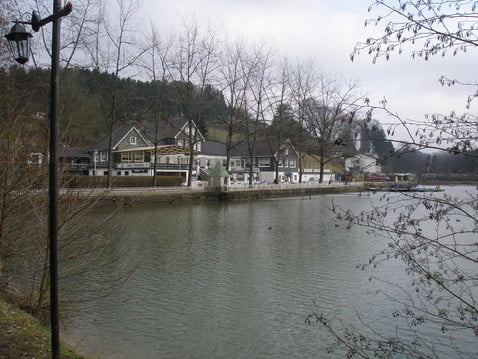
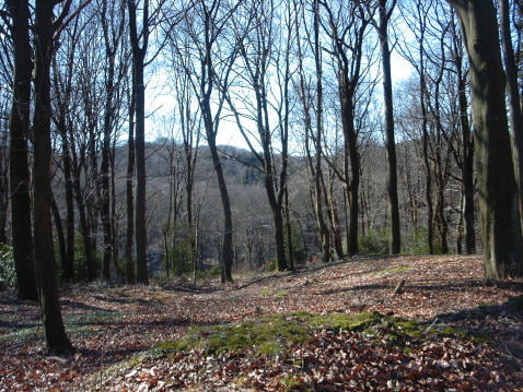
Galerie du tour


Carte du tour et altitude
Minimum height 816 m
Maximum height 1004 m
More about the tour author
|
|
MarcusVergin |
Commentaires

Tracks GPS
Trackpoints-
GPX / Garmin Map Source (gpx) download
-
TCX / Garmin Training Center® (tcx) download
-
CRS / Garmin Training Center® (crs) download
-
Google Earth (kml) download
-
G7ToWin (g7t) download
-
TTQV (trk) download
-
Overlay (ovl) download
-
Fugawi (txt) download
-
Kompass (DAV) Track (tk) download
-
Feuille de tours (pdf) download
-
Original file of the author (gpx) download
More about the tour author
|
|
MarcusVergin |
Add to my favorites
Remove from my favorites
Edit tags
Open track
My score
Rate