


mit auto über Feldthurns Lazfons zu einem Parkaplatz in Kuehof.
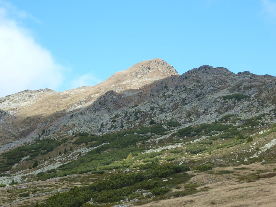
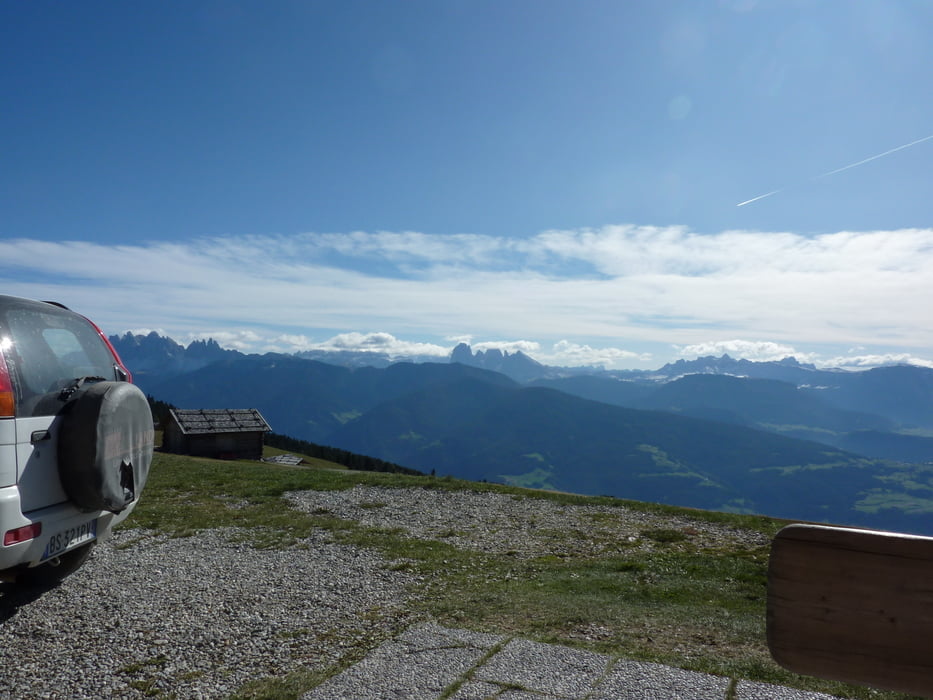
von dort leicht ansteigend einem Fahrweg entlang bis zur Klausnerhütte, Essen u Trinken einwandfrei, dann weiter über einen Steig steil bergauf ca 100 hm und dann gemütlich dem SWteig folgend über die Wiesen bis zur "Brugger Schupf" . Dort ist es herrlich auf der Terrasse zu sitzen und die Köstlichkeiten des Tages zu geniessen. Wunderbarer Ausblick. Zum Schluß geht es noch über die Wiesen hinab ein wenig durch Wald bis zum Auto. Hier schließt sich der Kreis wieder und dann ab ins Hotel und in die Sauna oder zuerst noch (wer kann Kaffee und Kuchen?) genießen
Galerie du tour


Carte du tour et altitude
Minimum height 1582 m
Maximum height 2142 m
More about the tour author

|
1zars |
Commentaires

Brixen , Feldthurns,Lazfons, Kuehof
Tracks GPS
Trackpoints-
GPX / Garmin Map Source (gpx) download
-
TCX / Garmin Training Center® (tcx) download
-
CRS / Garmin Training Center® (crs) download
-
Google Earth (kml) download
-
G7ToWin (g7t) download
-
TTQV (trk) download
-
Overlay (ovl) download
-
Fugawi (txt) download
-
Kompass (DAV) Track (tk) download
-
Feuille de tours (pdf) download
-
Original file of the author (gpx) download
More about the tour author
|
|
1zars |
Add to my favorites
Remove from my favorites
Edit tags
Open track
My score
Rate