


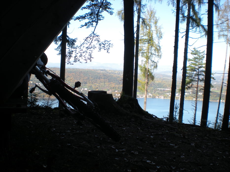
Geniale Ausblicke auf den See - aber ehrlich gesagt - wer sein Bike nicht gerne trägt, fährt vom Seeufer weg eine andere Route.
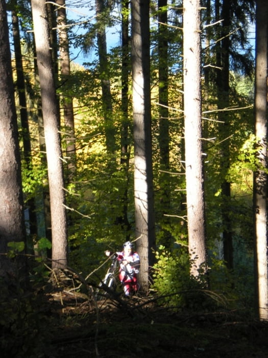
Von Krumpendorf südlich des Bahnhofs in Richtung Klagenfurt See, weiter am Südufer bis Maiernigg, links weg zum Mahler-Komponierhäuschen. Dann Bike 140 Höhenmeter durch steiles Gelände hinauftragen (Leute, sucht Euch eine andere Route!!!), danach am Wanderweg 7 zu den Spintikteichen. Weiter nach Sankt Nikolai, dort rechts weg über kleine Wege nach Keutschach Ort und weiter Richtung Keutschacher See. Beim Kreisverkehr links, entlang dem Wanderweg zum Baßgeigen und Rauschelesee, weiter entlang dem R4 nach Viktring, zur Sattnitz, links in Richtung See und am Wörthersee entlang zurück nach Krumpendorf.
Further information at
http://www.woerthersee.com/de/theme/rad/Galerie du tour

Carte du tour et altitude
Minimum height 436 m
Maximum height 665 m
More about the tour author
|
|
Roland Leschanz |
Commentaires

Auto: von Villach A2 bis Abfahrt Krumpendorf - links im Kreisverkehr Richtung Klagenfurt bis zum Bahnhof.
von Wien: A2 bis Abfahrt Krumpendorf, links in die Hallegger Straße, rechts auf B83 bis zum Bahnhof.
Tracks GPS
Trackpoints-
GPX / Garmin Map Source (gpx) download
-
TCX / Garmin Training Center® (tcx) download
-
CRS / Garmin Training Center® (crs) download
-
Google Earth (kml) download
-
G7ToWin (g7t) download
-
TTQV (trk) download
-
Overlay (ovl) download
-
Fugawi (txt) download
-
Kompass (DAV) Track (tk) download
-
Feuille de tours (pdf) download
-
Original file of the author (gpx) download
More about the tour author
|
|
Roland Leschanz |
Add to my favorites
Remove from my favorites
Edit tags
Open track
My score
Rate