


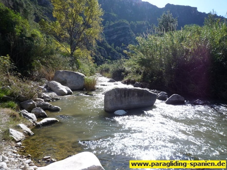
Leichte Tour am Rio Serpis entlang. Nach ca. 5 km an der Bruecke befindet sich eine schoene Moeglichkeit zum Rasten. Leider ist nicht alles auf dem GPS-Track.
Fuer Gleitschirm- Tandemfluege in Alicante empfehle ich den Link.
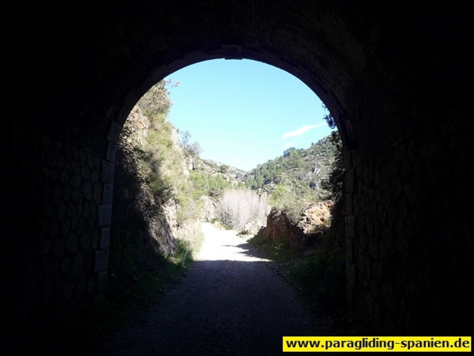
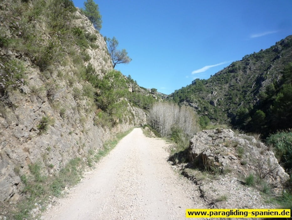
Galerie du tour

Carte du tour et altitude
Minimum height 112 m
Maximum height 531 m
More about the tour author

|
aeromax |
Commentaires

Von Alicante auf der N340 bis Muro de Alcoy, von dort links auf die CV 705 Richtung Beniarres. Am Ortsende auf die CV 701 Richtung Lorcha. Nach ca. 7 km erscheint links eine Burgruine, dort links abbiegen und oben parken.
Tracks GPS
Trackpoints-
GPX / Garmin Map Source (gpx) download
-
TCX / Garmin Training Center® (tcx) download
-
CRS / Garmin Training Center® (crs) download
-
Google Earth (kml) download
-
G7ToWin (g7t) download
-
TTQV (trk) download
-
Overlay (ovl) download
-
Fugawi (txt) download
-
Kompass (DAV) Track (tk) download
-
Feuille de tours (pdf) download
-
Original file of the author (gpx) download
More about the tour author
|
|
aeromax |
Add to my favorites
Remove from my favorites
Edit tags
Open track
My score
Rate