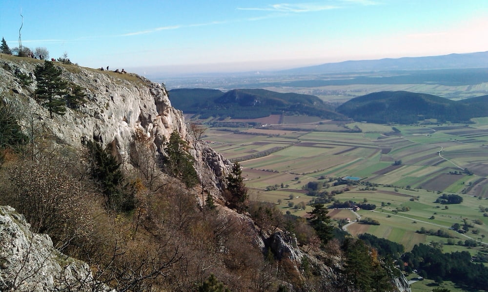
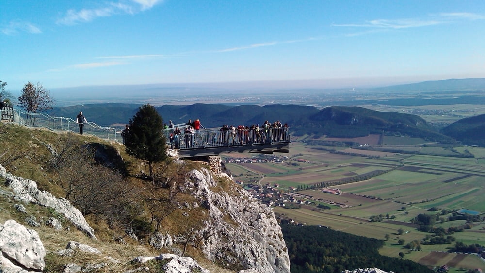
Schöner Rundwanderweg mit tollen Aussichtspunkten
Datum 25.10.2009
Alle Fotos siehe Link
Further information at
https://skydrive.live.com/?cid=dff63ce9c39979fe&id=DFF63CE9C39979FE%211439#!/?cid=dff63ce9c39979fe&sc=photos&id=DFF63CE9C39979FE%214646!cid=DFF63CE9C39979FE&id=DFF63CE9C39979FE%214646&sc=photosGalerie du tour
Carte du tour et altitude
Minimum height 843 m
Maximum height 1076 m
Commentaires

Tracks GPS
Trackpoints-
GPX / Garmin Map Source (gpx) download
-
TCX / Garmin Training Center® (tcx) download
-
CRS / Garmin Training Center® (crs) download
-
Google Earth (kml) download
-
G7ToWin (g7t) download
-
TTQV (trk) download
-
Overlay (ovl) download
-
Fugawi (txt) download
-
Kompass (DAV) Track (tk) download
-
Feuille de tours (pdf) download
-
Original file of the author (gpx) download
Add to my favorites
Remove from my favorites
Edit tags
Open track
My score
Rate


