Login

Login oublié ?

Cookies have to be accepted!
Your browser's cookie functionality is disabled. Please enable this functionality.

Not a member yet?

Register now
Login

Available for registred users only

Log in to use this feature.

Login oublié ?

Cookies have to be accepted!
Your browser's cookie functionality is disabled. Please enable this functionality.

Not a member yet?

Register now
Filter
Catégories
Advanced filters
  • Longueur (km)
  • Altimètre
Enregistrer le filtre Reset filter

TrackRank

QRCode

Technical data

Longueur39,5 km Altimètre590 m Way down636 m Durée03:30 h:m Date26.10.2009
Evaluations Author User Paysage Aspect amusement Condition Technique

Statistiques

3852 Vues 1 Evaluation 215 Téléchargements 5.00 Moyenne
Rate
  • Feuille de tours
  • Arrivée
  • Téléchargements

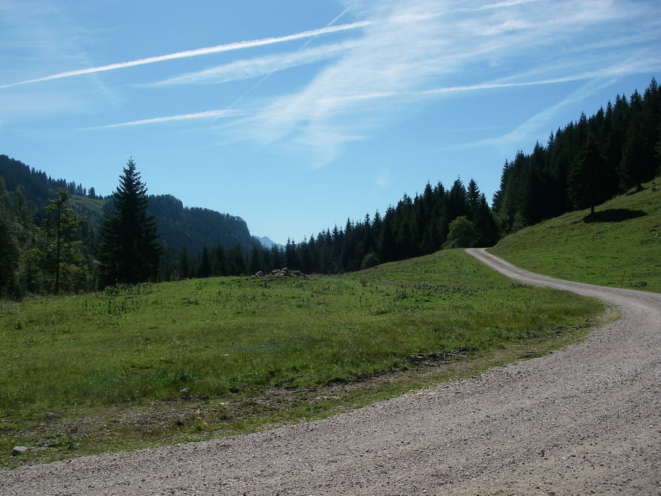
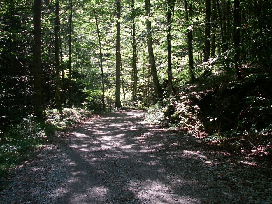
Wir starten in Grashof. Weiter durch das Tal der Urschlauer Achen, vorbei am Märchenpark bis Urschlau. Dort ab von der Straße, auf Naturwegen bis zur Eschelmoos Alm. Weiter zum Röthelmoos. Nun auf schönen Wegen hinab zum Weitsee. An den Seen und dem Biathon Zentrum entlang zurück nach Ruhpolding (Grashof).

Schöne Wege, keine Single Trails.

Further information at

http://www.ruhpolding.de

Galerie du tour

Carte du tour et altitude

  • Open Street Map
  • Google
Minimum height 664 m Maximum height 1098 m Vue de détail

More about the tour author

Seili
Member since 2008

Send private message

Commentaires

Tracks GPS

Trackpoints
  • GPX / Garmin Map Source (gpx) download
  • TCX / Garmin Training Center® (tcx) download
  • CRS / Garmin Training Center® (crs) download
  • Google Earth (kml) download
  • G7ToWin (g7t) download
  • TTQV (trk) download
  • Overlay (ovl) download
  • Fugawi (txt) download
  • Kompass (DAV) Track (tk) download
  • Feuille de tours (pdf) download
  • Original file of the author (gpx) download

More about the tour author

Seili
Member since 2008

Send private message
Share track
Add to my favorites
Remove from my favorites
Edit tags
My score
Rate
Tour: Über Eschelmoos- und Röthelmoos Alm
Cat.: Mountainbike
Longueur: 39,5 km
Evaluated on:
Durée:
Day(s)
Hour(s)
Minute(s)
Evaluation: Paysage Aspect amusement Condition Technique