


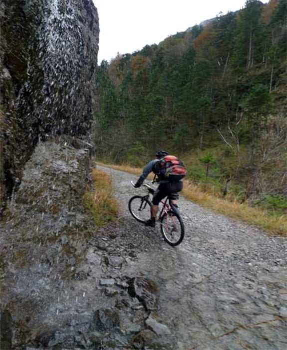
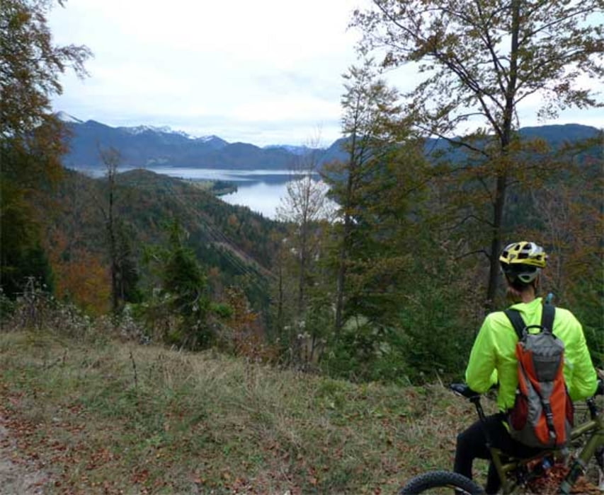
Nach Eschenlohe kommt man mit dem Auto oder bequem von München aus mit dem Zug. Gleich vom Bahnhof aus startet die Tour durch das Eschenlainetal nach Wallgau. Der durchweg gute Weg besteht aus viel Forststraße gespickt mit einigen steilen Rampen die auch einmal grobschottrig und mit Schlaglöchern versehen sein können. Von Wallgau aus geht es zum Teil sehr steil bergauf zur Filzbachalm und weiter zur Esterbergalm. Spätestens dort sollte man zur Rast einkehren und die gute Küche genießen. Die Abfahrt nach Garmisch wir dann nochmal ziemlich stein, technisch aber nicht weiter anspruchsvoll. Die Rückfahrt nach Eschenlohe entlang der Loisach führt überwiegend über Teer ist landschaftlich aber sehr reizvoll.
Further information at
http://www.Stollenknacken.deGalerie du tour
Carte du tour et altitude
Minimum height 602 m
Maximum height 1309 m
More about the tour author
|
|
markgs |
Commentaires

Eschenlohe über Autobahn von München oder per Bahn. Startpunkt Bahnhof Eschenlohe.
Tracks GPS
Trackpoints-
GPX / Garmin Map Source (gpx) download
-
TCX / Garmin Training Center® (tcx) download
-
CRS / Garmin Training Center® (crs) download
-
Google Earth (kml) download
-
G7ToWin (g7t) download
-
TTQV (trk) download
-
Overlay (ovl) download
-
Fugawi (txt) download
-
Kompass (DAV) Track (tk) download
-
Feuille de tours (pdf) download
-
Original file of the author (gpx) download
More about the tour author
|
|
markgs |
Add to my favorites
Remove from my favorites
Edit tags
Open track
My score
Rate