


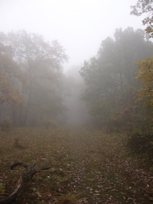
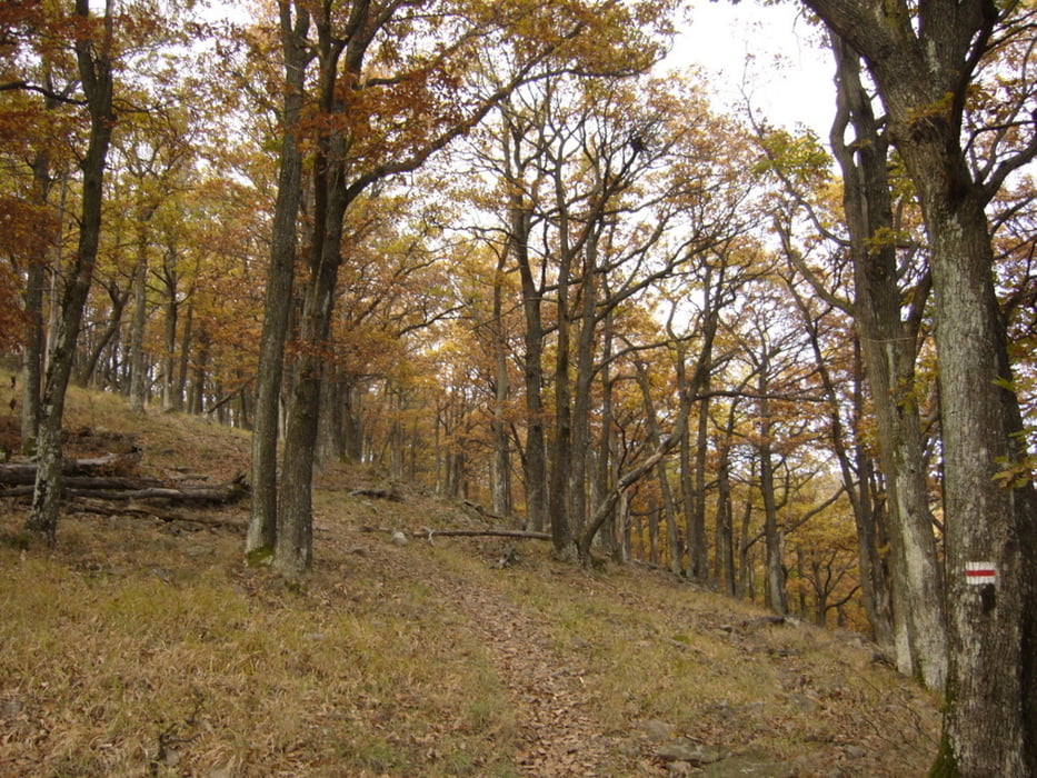
A túra mindkét irányban teljesíthető. Az általam javasolt útirány: Perőcsény (180) - Ökör-orom - Holló-kő (685) - Kövirózsás (696) - Vár-nyereg - Salgóvár (715) - Bánya-tető - Bánya-bérc - Magyar-hegy (710) - Bogár-kert - Nagybörzsöny.
Perőcsényből felfelé vezet az út, amíg el nem érjük az Ökör-ormot. Innen a gerincen kell "hullámvasutazni". A Salgóvár után egy hosszabb leejtő jön, melyet a Magyar-hegyre felvezető emelkedő követ. A Magyar-hegyről lefelé menet gyorsan vesztjük a magasságot a Magyar-völgyig. Innen Nagybörzsöny már csak egy kellemes séta.
Further information at
http://picasaweb.google.com/endre.fekete/PerocsenyNagyborzsony02?feat=directlinkGalerie du tour


Carte du tour et altitude
Minimum height 186 m
Maximum height 707 m
More about the tour author
|
|
andrew85 |
Commentaires

A túra kezdő és végpontja autóbusszal közelíthető meg Szobról.
Tracks GPS
Trackpoints-
GPX / Garmin Map Source (gpx) download
-
TCX / Garmin Training Center® (tcx) download
-
CRS / Garmin Training Center® (crs) download
-
Google Earth (kml) download
-
G7ToWin (g7t) download
-
TTQV (trk) download
-
Overlay (ovl) download
-
Fugawi (txt) download
-
Kompass (DAV) Track (tk) download
-
Feuille de tours (pdf) download
-
Original file of the author (gpx) download
More about the tour author
|
|
andrew85 |
Add to my favorites
Remove from my favorites
Edit tags
Open track
My score
Rate