Login

Login oublié ?

Cookies have to be accepted!
Your browser's cookie functionality is disabled. Please enable this functionality.

Not a member yet?

Register now
Login

Available for registred users only

Log in to use this feature.

Login oublié ?

Cookies have to be accepted!
Your browser's cookie functionality is disabled. Please enable this functionality.

Not a member yet?

Register now
Filter
Catégories
Advanced filters
  • Longueur (km)
  • Altimètre
Enregistrer le filtre Reset filter

TrackRank

QRCode

Technical data

Longueur15,8 km Altimètre1137 m Way down1046 m Durée00:00 h:m Date19.08.2006
Evaluations Author Paysage Aspect amusement Condition Technique

Statistiques

4006 Vues 2 Evaluations 110 Téléchargements 3.00 Moyenne
Rate
  • Feuille de tours
  • Arrivée
  • Téléchargements
Bis zu ca 1500 Meter angenehm zu fahren aber dannnn... 20 bis kurzeitig 30% Steigung und der Weg ist recht ausgewaschen

Galerie du tour

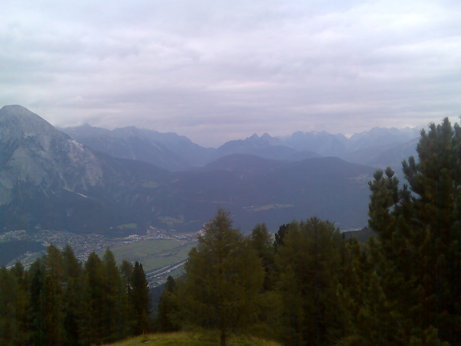
Carte du tour et altitude

  • Open Street Map
  • Google
Minimum height 770 m Maximum height 1892 m Vue de détail

More about the tour author

tomi
Member since 2005

Send private message

Commentaires

der treter on 19.09.2006

beschreibung stimmt.
aber: eine der besten aussichten di eine hütte in tirol überhaupt bietet.

der downhill kann sich auch äusserst reizvoll und selektiv gestalten, wenn man den alten weg nimmt.
Robert on 05.12.2006

Biker auf der Peter Anichhütte

als Hüttenwirt im Sommer 2006 war ich immer voll Bewunderung für die sportlichen Leistungen der "Biker".
Besonders für jene die auf die (unnötige?) Frage: "Und, bisch durchtretn?" völlig glaubwürdig, weil ohne Pressatem, cool antworteten : "Jaaa!"
Also weiter ran an die schnell verfügbaren Kohlenhydrate
Robert
Innsbruck-Telfs Rietz

Tracks GPS

Trackpoints
  • GPX / Garmin Map Source (gpx) download
  • TCX / Garmin Training Center® (tcx) download
  • CRS / Garmin Training Center® (crs) download
  • Google Earth (kml) download
  • G7ToWin (g7t) download
  • TTQV (trk) download
  • Overlay (ovl) download
  • Fugawi (txt) download
  • Kompass (DAV) Track (tk) download
  • Feuille de tours (pdf) download
  • Original file of the author (gpx) download

More about the tour author

tomi
Member since 2005

Send private message
Share track
Add to my favorites
Remove from my favorites
Edit tags
My score
Rate
Tour: Peter Anich Hütte
Cat.: Mountainbike
Longueur: 15,8 km
Evaluated on:
Durée:
Day(s)
Hour(s)
Minute(s)
Evaluation: Paysage Aspect amusement Condition Technique