Login

Login oublié ?

Cookies have to be accepted!
Your browser's cookie functionality is disabled. Please enable this functionality.

Not a member yet?

Register now
Login

Available for registred users only

Log in to use this feature.

Login oublié ?

Cookies have to be accepted!
Your browser's cookie functionality is disabled. Please enable this functionality.

Not a member yet?

Register now
Filter
Catégories
Advanced filters
  • Longueur (km)
  • Altimètre
Enregistrer le filtre Reset filter

TrackRank

QRCode

Technical data

Longueur11,7 km Altimètre333 m Way down328 m Durée03:20 h:m Date20.11.2009
Evaluations Author Paysage Aspect amusement Condition Technique

Statistiques

759 Vues 1 Evaluation 101 Téléchargements 2.00 Moyenne
Rate
  • Feuille de tours
  • Arrivée
  • Téléchargements
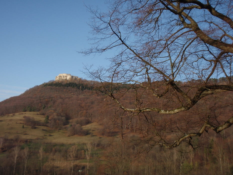
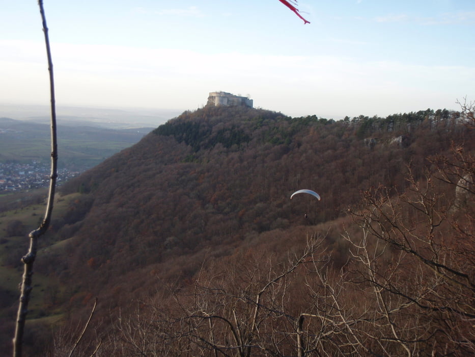
Toller , sehr steiler Aufstieg vom Parkplatz zum Drachenstartplatz, schön am Südhang mit Blick auf die Ruine Hohen Neuffen, dann immer am Trauf entlang mit schönen Ausblicken.

Galerie du tour

Carte du tour et altitude

  • Open Street Map
  • Google
Minimum height 441 m Maximum height 728 m Vue de détail

More about the tour author

Hassor
Member since 2008

Send private message

Commentaires

Parkplatz anfang der Neuffener Steige

Tracks GPS

Trackpoints
  • GPX / Garmin Map Source (gpx) download
  • TCX / Garmin Training Center® (tcx) download
  • CRS / Garmin Training Center® (crs) download
  • Google Earth (kml) download
  • G7ToWin (g7t) download
  • TTQV (trk) download
  • Overlay (ovl) download
  • Fugawi (txt) download
  • Kompass (DAV) Track (tk) download
  • Feuille de tours (pdf) download
  • Original file of the author (gpx) download

More about the tour author

Hassor
Member since 2008

Send private message
Share track
Add to my favorites
Remove from my favorites
Edit tags
My score
Rate
Tour: Höhenweg am Neuffen
Cat.: Randonnées
Longueur: 11,7 km
Evaluated on:
Durée:
Day(s)
Hour(s)
Minute(s)
Evaluation: Paysage Aspect amusement Condition Technique