
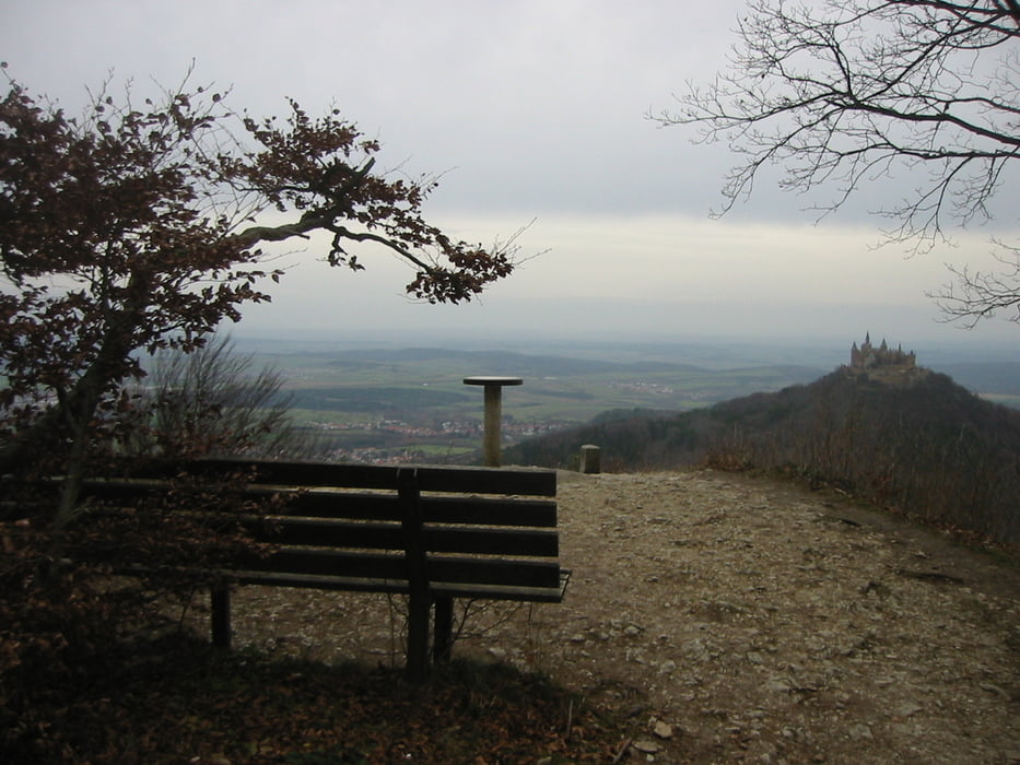

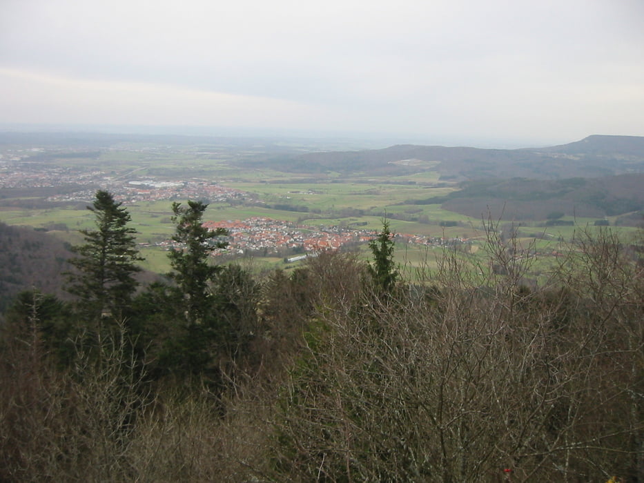
Wir starten beim REWE Markt ( Parkmöglichkeit ). Nach kurzer Fahrt beginnt die erste Steigung beim Skilift in Richtung Hermansdorf. Von Hermansdorf führt uns der Weg nach Neuweiler und weiter Richtung Raichberg. Immer wieder kreuzen wir Teile des Albstadt Bike Marathons. Wir fahren weiter Richtung Zeller Horn ( toller Ausblick ! ). Direkt danach beginnt die Abfahrt nach Boll. Achtung: Die Abfahrt ist recht anspruchsvoll und nicht ungefählich ! Je länger wir abfahren um so mehr enspannt sich dies. Vorbei an Maria Zell kommen wir nach Boll. Kurz nach Boll beginnt der Anstieg nach Jungingen. In Jungigen fahren wir in durch den Wald weiter nach Starzeln. Ein letzter Anstieg und wir sind wieder in Burladingen.
Galerie du tour
Carte du tour et altitude
Minimum height 533 m
Maximum height 932 m
More about the tour author

|
mareb1972 |
Commentaires

Sky Markt Ortseingang Burladingen
Tracks GPS
Trackpoints-
GPX / Garmin Map Source (gpx) download
-
TCX / Garmin Training Center® (tcx) download
-
CRS / Garmin Training Center® (crs) download
-
Google Earth (kml) download
-
G7ToWin (g7t) download
-
TTQV (trk) download
-
Overlay (ovl) download
-
Fugawi (txt) download
-
Kompass (DAV) Track (tk) download
-
Feuille de tours (pdf) download
-
Original file of the author (gpx) download
More about the tour author
|
|
mareb1972 |
Add to my favorites
Remove from my favorites
Edit tags
Open track
My score
Rate