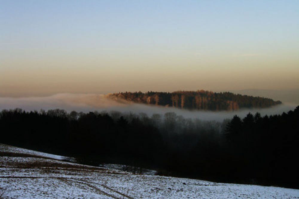
Dossenheim>Weisser Stein>Heiligkreuzsteinach> auf den Kammweg nach Neckarsteinach > nach Grein abbiegen und nach Schönau abfahren> in Schönau rechts wieder zum Hasselbacher Hof und weiter zum Langen Kirschbaum (Parkplatz oberhalb von Wilhelmsfeld)> dort zum Weissen Stein. Von dort kann man in alle Richtungen (Heidelberg, Handschuhsheim, Dossenheim) abfahren.
Galerie du tour
Carte du tour et altitude
Minimum height 134 m
Maximum height 550 m
Commentaires

Tracks GPS
Trackpoints-
GPX / Garmin Map Source (gpx) download
-
TCX / Garmin Training Center® (tcx) download
-
CRS / Garmin Training Center® (crs) download
-
Google Earth (kml) download
-
G7ToWin (g7t) download
-
TTQV (trk) download
-
Overlay (ovl) download
-
Fugawi (txt) download
-
Kompass (DAV) Track (tk) download
-
Feuille de tours (pdf) download
-
Original file of the author (gpx) download
Add to my favorites
Remove from my favorites
Edit tags
Open track
My score
Rate


