Login

Login oublié ?

Cookies have to be accepted!
Your browser's cookie functionality is disabled. Please enable this functionality.

Not a member yet?

Register now
Login

Available for registred users only

Log in to use this feature.

Login oublié ?

Cookies have to be accepted!
Your browser's cookie functionality is disabled. Please enable this functionality.

Not a member yet?

Register now
Filter
Catégories
Advanced filters
  • Longueur (km)
  • Altimètre
Enregistrer le filtre Reset filter

TrackRank

QRCode

Technical data

Longueur482,9 km Altimètre2075 m Way down1374 m Durée03:30 h:m Date06.12.2009
Evaluations Author Paysage Aspect amusement Condition Technique

Statistiques

1333 Vues Evaluations 62 Téléchargements Moyenne
Rate
  • Feuille de tours
  • Arrivée
  • Téléchargements

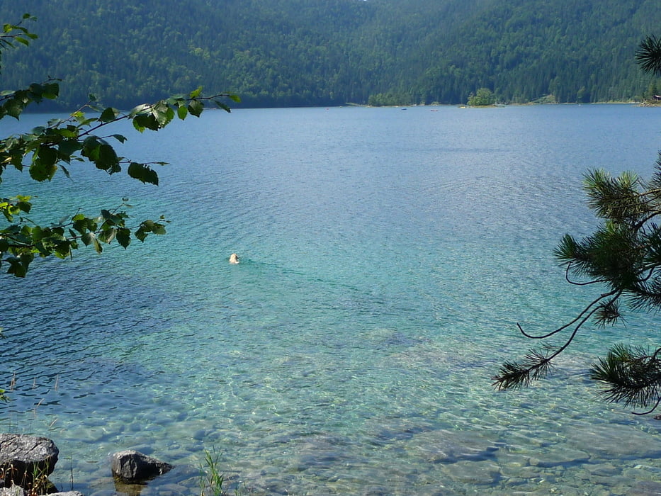
Die Tour geht von Obergrainau über Untergrainau bis zur Bundesstr. Loisacher Str. dort links 200 Meter an der Straße entlang. Dann überqueren wir die Str. und halten uns Richtung Eibsee. Am Eibsee angekommen kan man die Tour auch abkürzen indem man links anstatt rechts um den Eibsee wandert.

Galerie du tour

Carte du tour et altitude

  • Open Street Map
  • Google
Minimum height 66 m Maximum height 1134 m Vue de détail

More about the tour author

Robertkoch
Member since 2008

Send private message

Commentaires

Die Tour beginnt in Grainau. Wir sind direkt von unserer Unterkunft los marschiert.

Man kann aber auch im Ortskern Parken.

Tracks GPS

Trackpoints
  • GPX / Garmin Map Source (gpx) download
  • TCX / Garmin Training Center® (tcx) download
  • CRS / Garmin Training Center® (crs) download
  • Google Earth (kml) download
  • G7ToWin (g7t) download
  • TTQV (trk) download
  • Overlay (ovl) download
  • Fugawi (txt) download
  • Kompass (DAV) Track (tk) download
  • Feuille de tours (pdf) download
  • Original file of the author (gpx) download

More about the tour author

Robertkoch
Member since 2008

Send private message
Share track
Add to my favorites
Remove from my favorites
Edit tags
My score
Rate
Tour: Grainau Eibsee über Zierwald
Cat.: Randonnées
Longueur: 482,9 km
Evaluated on:
Durée:
Day(s)
Hour(s)
Minute(s)
Evaluation: Paysage Aspect amusement Condition Technique