Login

Login oublié ?

Cookies have to be accepted!
Your browser's cookie functionality is disabled. Please enable this functionality.

Not a member yet?

Register now
Login

Available for registred users only

Log in to use this feature.

Login oublié ?

Cookies have to be accepted!
Your browser's cookie functionality is disabled. Please enable this functionality.

Not a member yet?

Register now
Filter
Catégories
Advanced filters
  • Longueur (km)
  • Altimètre
Enregistrer le filtre Reset filter

TrackRank

QRCode

Technical data

Longueur13,2 km Altimètre34 m Way down31 m Durée03:13 h:m Date06.12.2009
Evaluations Author Paysage Aspect amusement Condition Technique

Statistiques

1038 Vues 1 Evaluation 72 Téléchargements 3.00 Moyenne
Rate
  • Feuille de tours
  • Arrivée
  • Téléchargements

12. April 2009

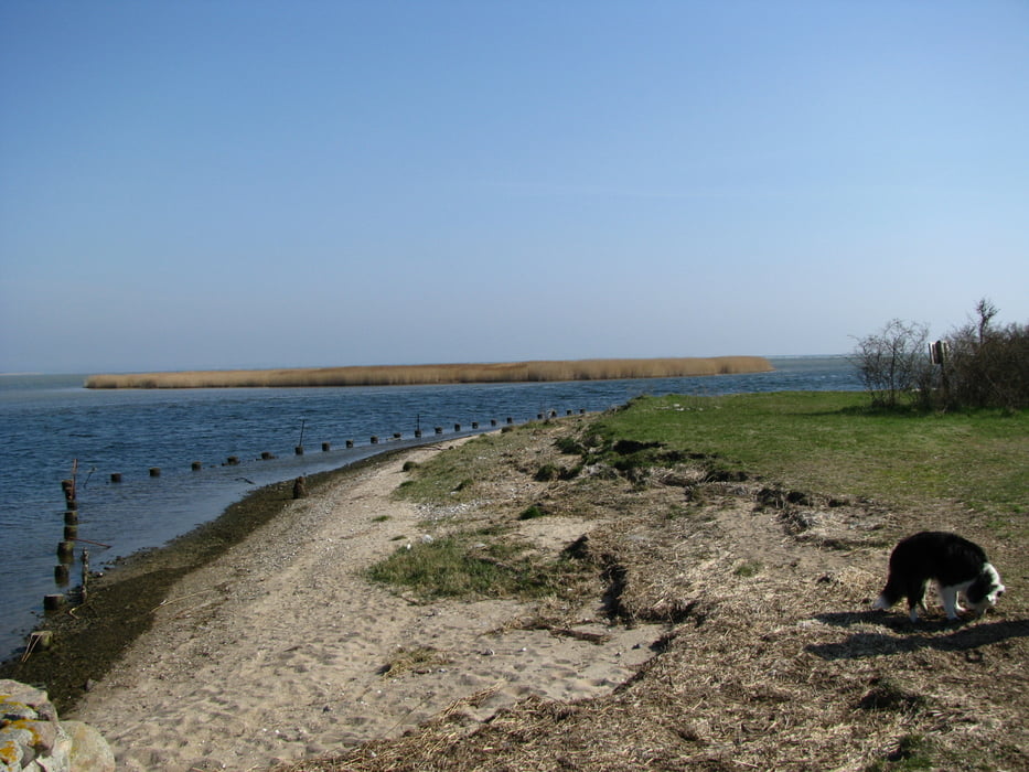
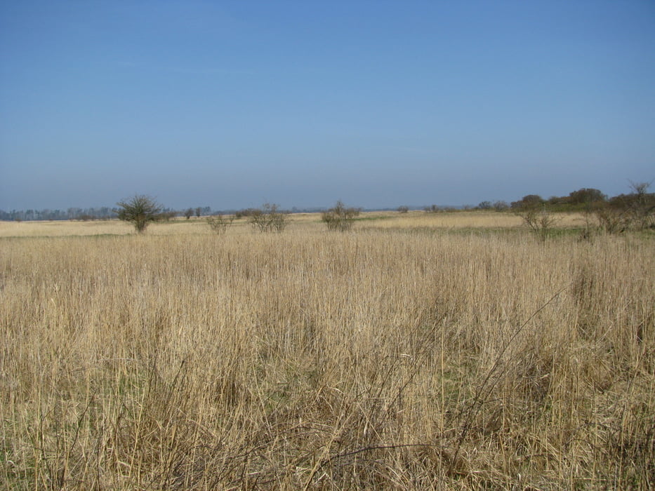
Von Zicker aus nähern wir uns Richtung Norden wandernd langsam dem Meer. Bald endet der Plattenweg und auf teils sandigen, teil grasbewachsenen Weg erreichen wir das NSG "Schoritzer Wiek", einem wichtigen Brutplatz für Vögel. Der Weg führt immer etwas Abseits des Strandes teilweise durch Wald hindurch bis zum Badestrand am "Greifswalder Bodden".

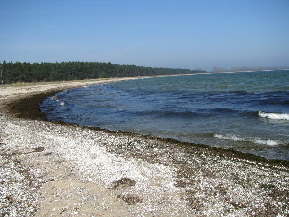
Von nun an folgen wir schönstem Sand- und Badestrand bis zum "Palmer Ort", dem südlichsten Punkt Rügens. Der Wind ist etwas zu heftig zum Rasten und so wandern wir durch einen Wald zurück bis Grabow, wo wir eine Pause einlegen. Dort folgen wir einer kleinen Strasse, die uns mehr oder weniger schnurgerade zum Ausgangspunkt zurückbringt.

Galerie du tour

Carte du tour et altitude

  • Open Street Map
  • Google
Minimum height -9 m Maximum height 13 m Vue de détail

More about the tour author

Wanderwolf

Commentaires

Grösserer Parkplatz in Zicker

Tracks GPS

Trackpoints
  • GPX / Garmin Map Source (gpx) download
  • TCX / Garmin Training Center® (tcx) download
  • CRS / Garmin Training Center® (crs) download
  • Google Earth (kml) download
  • G7ToWin (g7t) download
  • TTQV (trk) download
  • Overlay (ovl) download
  • Fugawi (txt) download
  • Kompass (DAV) Track (tk) download
  • Feuille de tours (pdf) download
  • Original file of the author (gpx) download

More about the tour author

Wanderwolf

Share track
Add to my favorites
Remove from my favorites
Edit tags
My score
Rate
Tour: Auf der Halbinsel Zudar
Cat.: Randonnées
Longueur: 13,2 km
Evaluated on:
Durée:
Day(s)
Hour(s)
Minute(s)
Evaluation: Paysage Aspect amusement Condition Technique