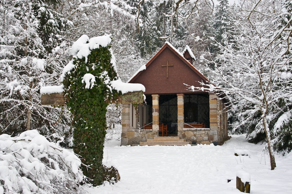
Vielseitige Strecke auf gutem Untergrund mit unterschiedlich
steilen Anstiegen. Schöne lichte Waldwege führen zu einem
herrlichen Aussichtspunkt mit Bergblick. Am Weg steht die
malerisch gelegene Waldkapelle, die zum kurzen Verweilen
einlädt.
Carte du tour et altitude
Minimum height 644 m
Maximum height 747 m
Commentaires

Tracks GPS
Trackpoints-
GPX / Garmin Map Source (gpx) download
-
TCX / Garmin Training Center® (tcx) download
-
CRS / Garmin Training Center® (crs) download
-
Google Earth (kml) download
-
G7ToWin (g7t) download
-
TTQV (trk) download
-
Overlay (ovl) download
-
Fugawi (txt) download
-
Kompass (DAV) Track (tk) download
-
Feuille de tours (pdf) download
-
Original file of the author (gpx) download
Add to my favorites
Remove from my favorites
Edit tags
Open track
My score
Rate


