


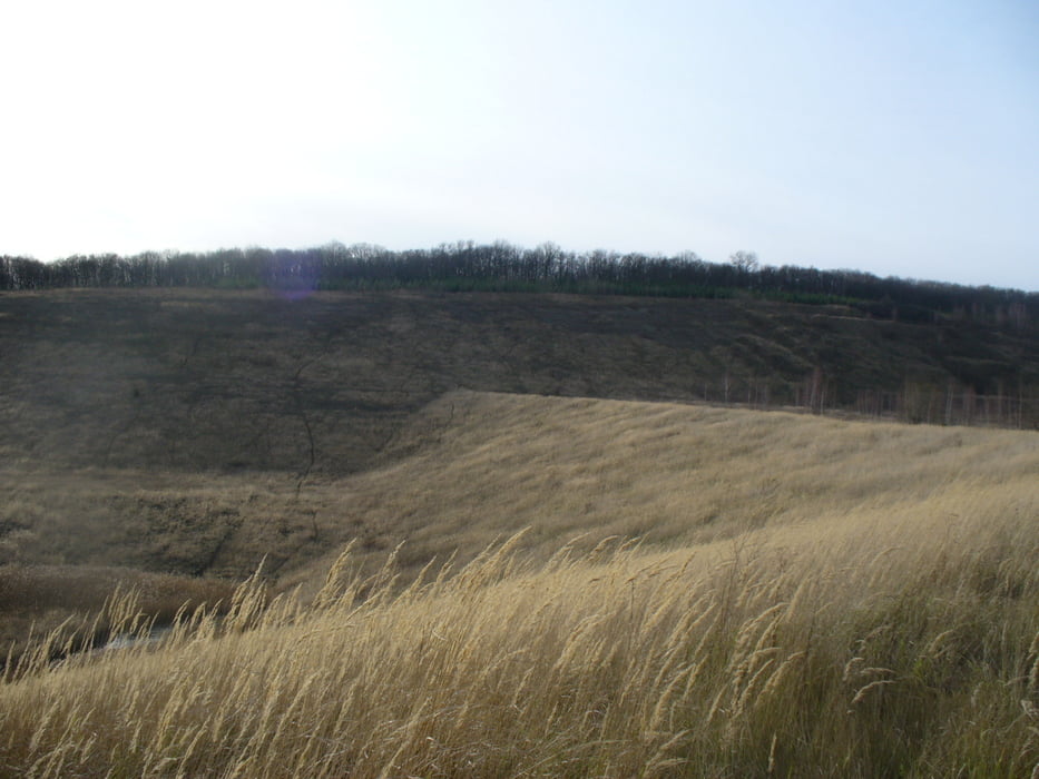
Vom Parkplatz an der K1, direkt unterhalb der Burg Lichtenberg geht es erst mal bergab.
Wir sind die Tour im November gefahren, deshalb kann ich nicht sagen, wie der Pflanzenwuchs im Frühjahr oder Sommer aussieht und ob alle Wege befahrbar, oder vielleicht einige zugewuchert sind.
Singletrails, Forstwege und Strassen halten sich die Waage.
Wenn es einige Tage, bevor ihr eure Tour startet, geregnet hat, solltet ihr mit einigen sehr matschigen Passagen rechnen.
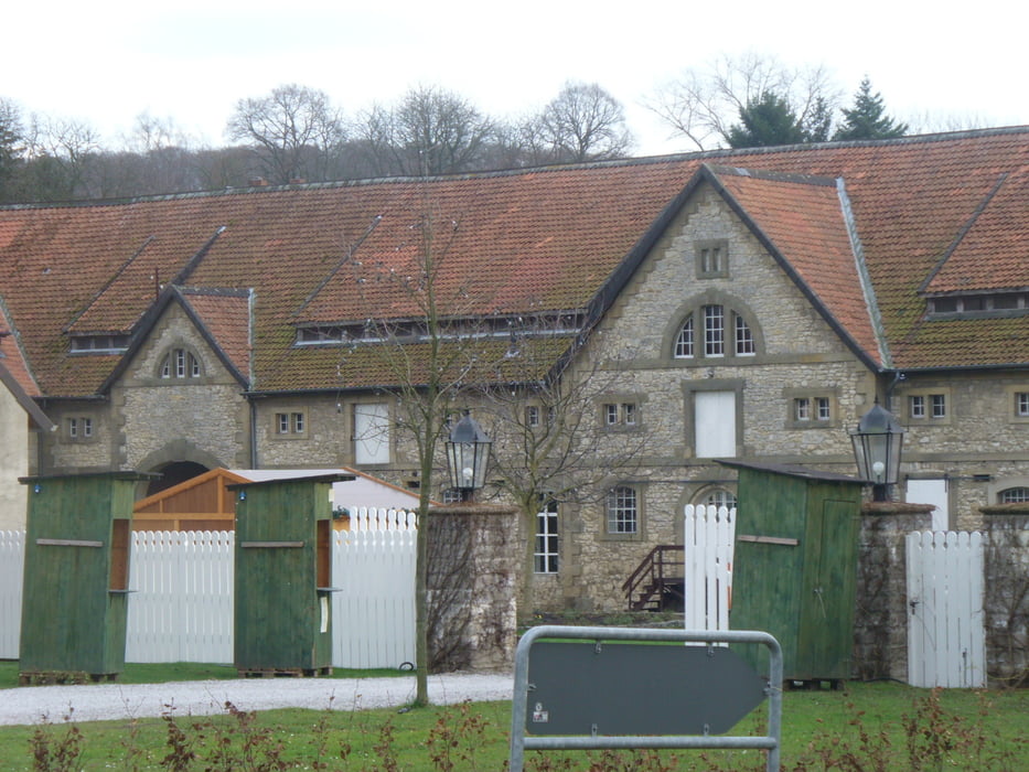
Am Ende der Tour könnt ihr noch einen Stop auf der Burg machen, von dort geht es dann noch einmal via Singletrail bergab zum Ziel.
Further information at
http://de.wikipedia.org/wiki/Burg_Lichtenberg_(Salzgitter)Galerie du tour


Carte du tour et altitude
Minimum height 90 m
Maximum height 240 m
More about the tour author
|
|
MTB-TiGer |
Commentaires

Es kommt darauf an, von wo ihr kommt.
Von Süden: von der B6 abbiegen auf die K1 Richtung Lichtenberg.
Von Norden: auf der K1 durch Lichtenberg in Richtung Oelber am Weißen Wege.
Tracks GPS
Trackpoints-
GPX / Garmin Map Source (gpx) download
-
TCX / Garmin Training Center® (tcx) download
-
CRS / Garmin Training Center® (crs) download
-
Google Earth (kml) download
-
G7ToWin (g7t) download
-
TTQV (trk) download
-
Overlay (ovl) download
-
Fugawi (txt) download
-
Kompass (DAV) Track (tk) download
-
Feuille de tours (pdf) download
-
Original file of the author (gpx) download
More about the tour author
|
|
MTB-TiGer |
Add to my favorites
Remove from my favorites
Edit tags
Open track
My score
Rate