


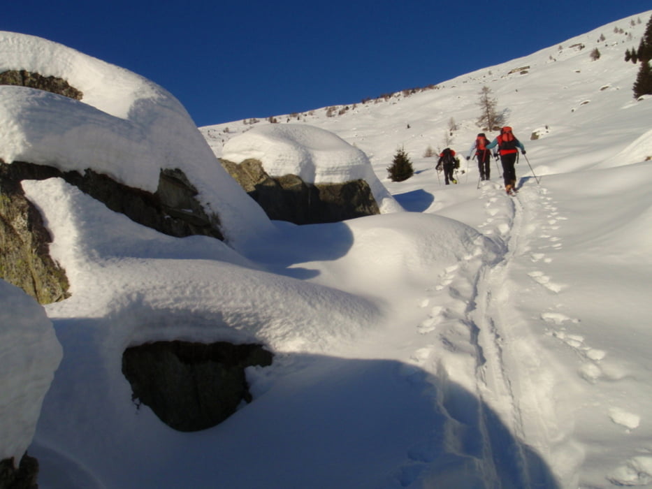
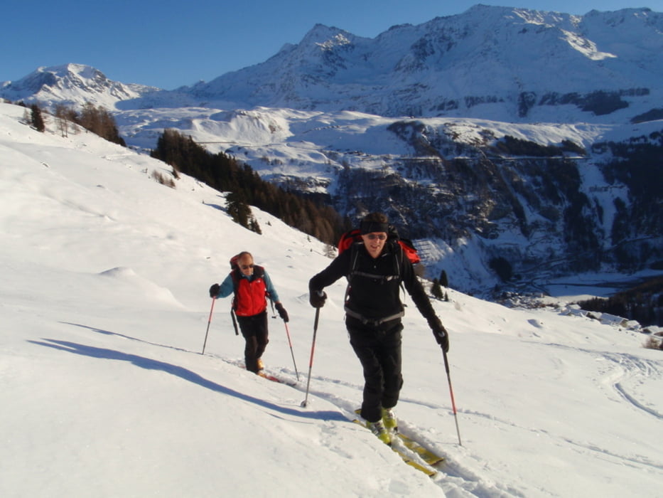
Da Mottaletta 1330, inizialmente si segue la stradina che sale in Val Febbraro, si passa dalla località Canto, per poi abbandonare la stradina ed iniziare la salita verso la cima lungo i pendii prativi. Puntando di volta in volta, verso le piccole frazioni di baite sovrastanti, si guadagna quota, e con logica si punta all’ampia dorsale che conduce verso la cima. Direzione Ovest. E’ un tracciato abbastanza sicuro e facile, molto ben soleggiato e con un ottimo panorama su tutta la valle sottostante, e in particolare sul versante opposto, e sulle le piste di Motta e Medesimo.
Discesa.
Molto divertente e con ottime possibilità di trovare spazi ancora non solcati, grazie alle molteplici possibilità di scelta su dove lasciare la propria traccia di discesa.
Il tracciato non è segnato sulla cartina. Kompass. N. 92
Tempo salita 2,30 -3 Dislivello approssimativo m. 1100
Possibile salire direttamente da Isola in caso di strada chiusa per Mottaletta.
Galerie du tour


Carte du tour et altitude
Minimum height 272 m
Maximum height 2404 m
More about the tour author
|
|
sergiomtbscialp |
Commentaires

Como –Lecco – Chiavenna. Da Chiavenna si seguono le indicazioni per il Passo Spluga e dopo Campodolcino si prosegue verso Isola e condizioni permettendo della strada si arriva di seguito a Mottaletta, piccola frazione in Valle San Giacomo, punto ideale per iniziare questo itinerario al Mocucco.
Tracks GPS
Trackpoints-
GPX / Garmin Map Source (gpx) download
-
TCX / Garmin Training Center® (tcx) download
-
CRS / Garmin Training Center® (crs) download
-
Google Earth (kml) download
-
G7ToWin (g7t) download
-
TTQV (trk) download
-
Overlay (ovl) download
-
Fugawi (txt) download
-
Kompass (DAV) Track (tk) download
-
Feuille de tours (pdf) download
-
Original file of the author (gpx) download
More about the tour author
|
|
sergiomtbscialp |
Add to my favorites
Remove from my favorites
Edit tags
Open track
My score
Rate