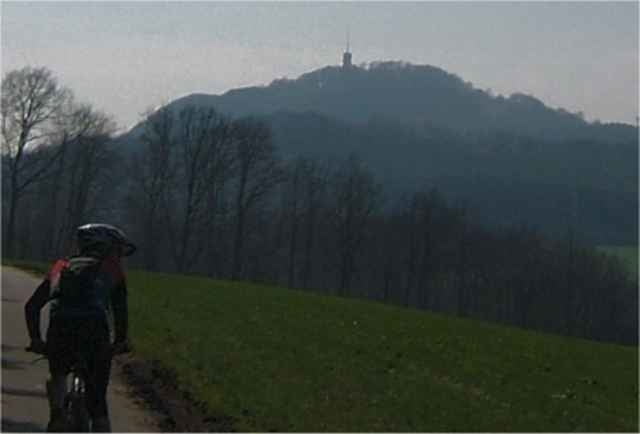
Der Schaumberg, wohl die bekannteste Erhebung im Saarland, ist ein lohnendes Ziel für Mountainbiker. Auch die Tour selber von Schmelz aus dorthin kann mit einem hohen Singletrailanteil und anderen landschaftlichen Reizen glänzen. Die sich ansammelnden Höhenmeter verlangen ein wenig Kondition und die oft schmalen Trails ein wenig Geschick.
Die interessanten Punkte der Tour in einer Übersicht:
* Hoxfelsen: geologisch interessant
* Höchsten: Kapelle, Wallfahrtsort
* Lachmühle: Sägemühle und Tourenschnittpunkt
* Schaumberg: Turm mit Weitsicht
* Schaumbergabfahrt: die schönste im Saarland?
* Blasiusberg: Kapelle (Bauernbarock)
* Drei-Buchen-Trail mit Wilcheborre (Quelle)
* Abfahrt vom Onkelsberg zu den Limbacher Weihern
* Birg: keltische Fliehburg (Grundriss erkennbar)
Further information at
http://www.nmbiking.deGalerie du tour
Carte du tour et altitude
Minimum height 231 m
Maximum height 563 m
Commentaires

Von Schmelz aus in Richtung Trier, vor der Kreuzung (Abzweigung nach Limbach) rechts ab über die Brücke zum Steinbruch oder auch an der Tankstelle Schommer parken...
Tracks GPS
Trackpoints-
GPX / Garmin Map Source (gpx) download
-
TCX / Garmin Training Center® (tcx) download
-
CRS / Garmin Training Center® (crs) download
-
Google Earth (kml) download
-
G7ToWin (g7t) download
-
TTQV (trk) download
-
Overlay (ovl) download
-
Fugawi (txt) download
-
Kompass (DAV) Track (tk) download
-
Feuille de tours (pdf) download
-
Original file of the author (g7t) download
Add to my favorites
Remove from my favorites
Edit tags
Open track
My score
Rate


