

Steckenwanderung, ca 31km, ca 800hm, ca 7,5 Std Laufzeit
Start in Heidelberg, man kann aber beliebig einstiegen (z.B. Weisser Stein, Langer Kirschbaum, Wilhelmsfeld)
von HD über Weissen Stein, Wilhelmsfeld> Loipe (dort gibt es die Möglichkeit im Naturfreundehaus Kohlhof eine Pause zu machen, ist knapp die halbe Wegstrecke(ca 10Min von der Loipe entfernt, kaum Umweg).
Dann bergab nach Heiligkreuzsteinach, dort über den Kammweg nach Waldmichelbach.
Übernachtungsmöglichkeit im Birkenhof, liegt direkt an der Strecke oder Kreidacher Höhe (ca noch 3 km und 100hm weiter), Einkehrmöglichkeiten in Wald-Michelbach, Altstadt
Adressen:
- Nachverkehr: www.vrn.de
- Naturfreundehaus Kohlhof (Wilhelmsfeld) 06220/8520
- Hotel Kreidacher Höhe www.kreidacher-hoehe.de 06207- 92220
- Hotel Birkenhof, Waldmichelbach, www.hotel-birkenhof-waldmichelbach.de 06207-2297
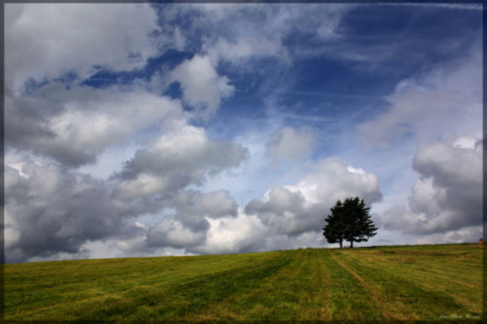
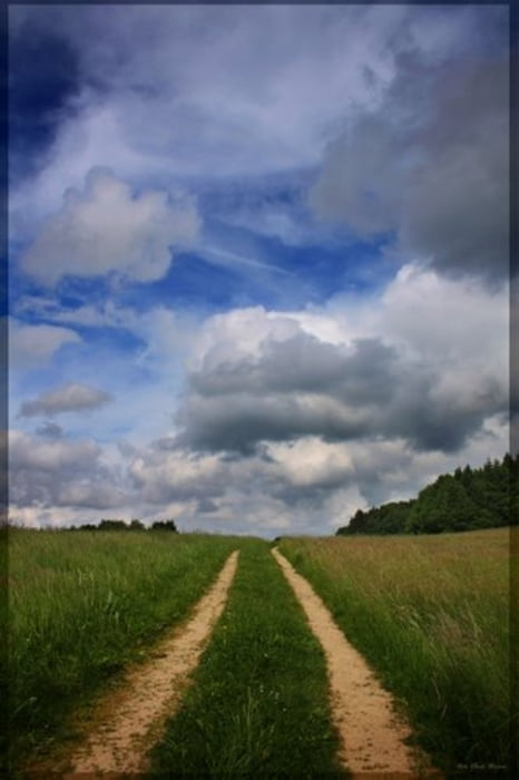
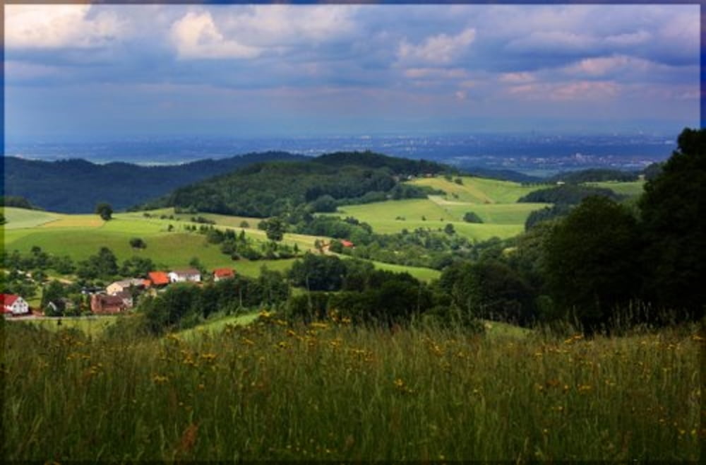
Galerie du tour


Carte du tour et altitude
Minimum height 94 m
Maximum height 547 m
More about the tour author
|
|
wernermohr |
Commentaires

Tracks GPS
Trackpoints-
GPX / Garmin Map Source (gpx) download
-
TCX / Garmin Training Center® (tcx) download
-
CRS / Garmin Training Center® (crs) download
-
Google Earth (kml) download
-
G7ToWin (g7t) download
-
TTQV (trk) download
-
Overlay (ovl) download
-
Fugawi (txt) download
-
Kompass (DAV) Track (tk) download
-
Feuille de tours (pdf) download
-
Original file of the author (gpx) download
More about the tour author
|
|
wernermohr |
Add to my favorites
Remove from my favorites
Edit tags
Open track
My score
Rate