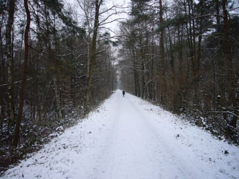
Flache Runde, zunächst auf dem alten Bahndamm bis kurz vor den alten Forsbacher Bahnhof, dann links hinab zu einem Weiher und über den Friedhof Kleineichen wieder zurück auf den Bahndamm zum Ausgangspunkt.
Further information at
http://de.wikipedia.org/wiki/K%C3%B6nigsforstGalerie du tour
Carte du tour et altitude
Minimum height 87 m
Maximum height 146 m
Commentaires

1 km entfernt vom Bahnhof Rösrath an der Ecke Ahornweg/Lärchenweg befindet sich der Startpunkt.
Tracks GPS
Trackpoints-
GPX / Garmin Map Source (gpx) download
-
TCX / Garmin Training Center® (tcx) download
-
CRS / Garmin Training Center® (crs) download
-
Google Earth (kml) download
-
G7ToWin (g7t) download
-
TTQV (trk) download
-
Overlay (ovl) download
-
Fugawi (txt) download
-
Kompass (DAV) Track (tk) download
-
Feuille de tours (pdf) download
-
Original file of the author (gpx) download
Add to my favorites
Remove from my favorites
Edit tags
Open track
My score
Rate


