


Zum wirklich nördlichsten Punkt Europas der ohne Schiff zu erreichen ist!
Am beginn einige Kilometer durch eine Sumpfige Hochfläche an einem kleinem See vorbei und dann absteig in eine Bucht hinunter. Auf schräg abfallenden Felsen dann nordwärts bis zum Ziel (ca. 1km). Ca 5h für beide Wege
Track beinhaltet nur eine Richtung (Rück weg identisch)
Am beginn einige Kilometer durch eine Sumpfige Hochfläche an einem kleinem See vorbei und dann absteig in eine Bucht hinunter. Auf schräg abfallenden Felsen dann nordwärts bis zum Ziel (ca. 1km). Ca 5h für beide Wege
Track beinhaltet nur eine Richtung (Rück weg identisch)
Further information at
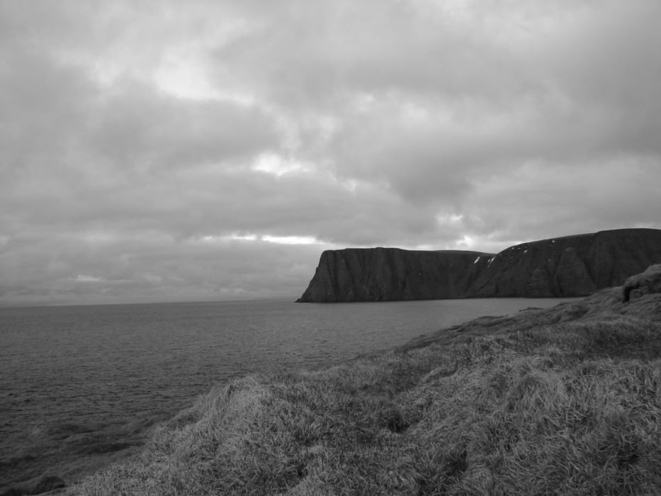
http://de.wikipedia.org/wiki/Kap_KnivskjeloddenGalerie du tour
Carte du tour et altitude
Minimum height 13 m
Maximum height 317 m
More about the tour author

|
Commentaires

Ca 25km nach Honnigsvag und 5 km vor den Nordkapp Parkplatz auf der Westlichen Seite der Straße.
Tracks GPS
Trackpoints-
GPX / Garmin Map Source (gpx) download
-
TCX / Garmin Training Center® (tcx) download
-
CRS / Garmin Training Center® (crs) download
-
Google Earth (kml) download
-
G7ToWin (g7t) download
-
TTQV (trk) download
-
Overlay (ovl) download
-
Fugawi (txt) download
-
Kompass (DAV) Track (tk) download
-
Feuille de tours (pdf) download
-
Original file of the author (gpx) download
More about the tour author
|
|
Add to my favorites
Remove from my favorites
Edit tags
Open track
My score
Rate