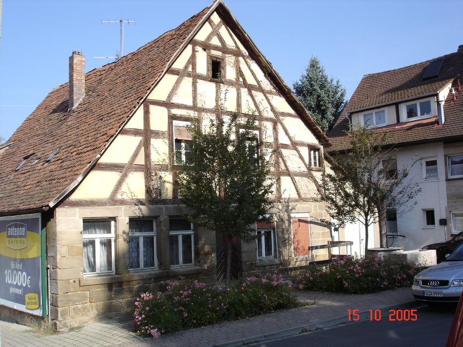
Schöne Runde auf teilweise ruhigen Nebenstraßen.
Start Langenzenn am alten Rathaus -Richtung Westen über Laubendorf - Wilhermsdorf - Unterulsenbach - Wolfs- / Mittelmühle - Kappersberg - Kotzenaurach - Mosbach - Losaurach -Klausaurach - Linden ( Streckenkreuzung! kann sowohl rechts oder geradeaus gefahren werden! ) - Waldhaus - Haaghof - Linden - Hagenhof - Neuhof a. d. Zenn - Unterfeldbrecht - Neudorf - Hirschneuses - Kreben - Kirchfarrnbach - Keidenzell - Langenzenn
Galerie du tour
Carte du tour et altitude
Minimum height 303 m
Maximum height 461 m
Commentaires

Tracks GPS
Trackpoints-
GPX / Garmin Map Source (gpx) download
-
TCX / Garmin Training Center® (tcx) download
-
CRS / Garmin Training Center® (crs) download
-
Google Earth (kml) download
-
G7ToWin (g7t) download
-
TTQV (trk) download
-
Overlay (ovl) download
-
Fugawi (txt) download
-
Kompass (DAV) Track (tk) download
-
Feuille de tours (pdf) download
-
Original file of the author (gpx) download
Add to my favorites
Remove from my favorites
Edit tags
Open track
My score
Rate


