


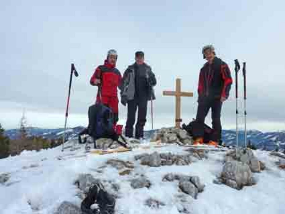
Aufstieg: über eine kurze Wiese zu einem Saumweg danach auf einer Forststraße weiter. Steiler durch einen Graben zu einer weiteren Forststraße die uns zum Nordkamm führt. Hier treffen wir auf den Wanderweg Nr. 11 der aus dem Halltal herauf kommt. Die Forststraße geht um den vorgelagerten Hochkampl herum der Wanderweg verläßt die Forststraße und leitet uns auf die lichter bewaldetet Hochfläche nahe dem Haselspitz. Weiter über einen Rücken mit Lichtungen hinüber zur Student. (Besser zuerst auf die Student danach zum Haselspitz !!!!!besser Abfahrt!!!!!)
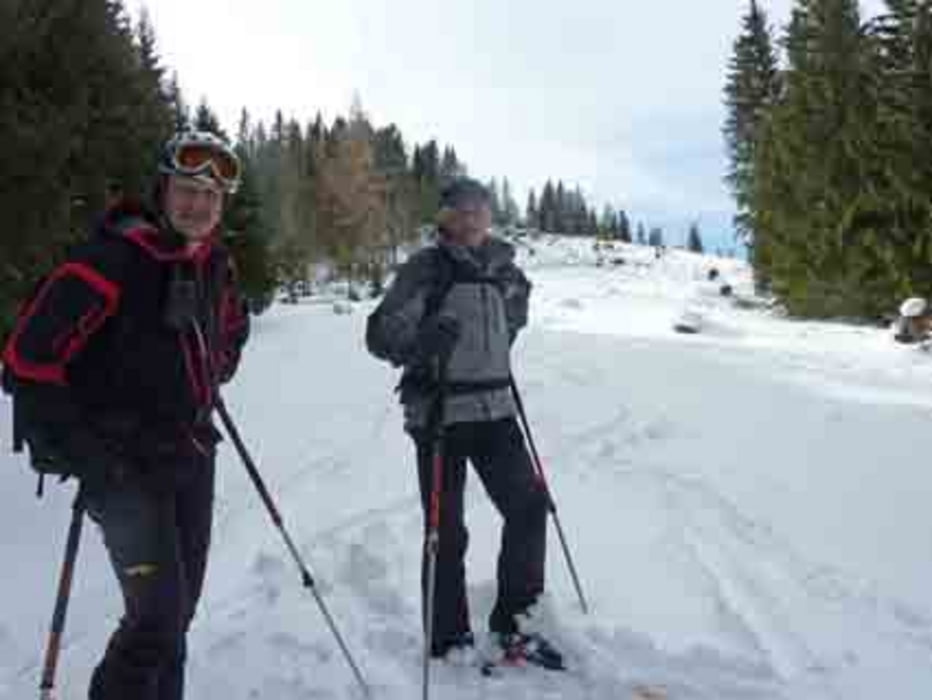
Abfahrt: meist entlang der Aufstiegsspur ab dem Wanderweg aus dem Halltal bei Wegweiser über einen markanten Rücken hinab über Lichtungen zur ersten Forststraße. Genügend Schnee!!!!! es geht auch durch den Wald.
Galerie du tour
Carte du tour et altitude
Minimum height 822 m
Maximum height 1544 m
More about the tour author
|
|
piloupe |
Commentaires

Von St. Pölten über Kernhof ins Halltal bis zur Zufahrt zum Gehöft Hönbichler
Tracks GPS
Trackpoints-
GPX / Garmin Map Source (gpx) download
-
TCX / Garmin Training Center® (tcx) download
-
CRS / Garmin Training Center® (crs) download
-
Google Earth (kml) download
-
G7ToWin (g7t) download
-
TTQV (trk) download
-
Overlay (ovl) download
-
Fugawi (txt) download
-
Kompass (DAV) Track (tk) download
-
Feuille de tours (pdf) download
-
Original file of the author (gpx) download
More about the tour author
|
|
piloupe |
Add to my favorites
Remove from my favorites
Edit tags
Open track
My score
Rate