
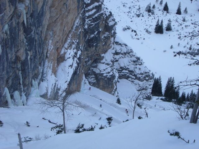

Vom Parkplatz Pederü die Serpentinen links hoch bis zur Hochebene von Fodara Vedla und weiter Richtung Sennes. Von hier au den col di Lasta Picio. Der Rückweg folgt der Aufstiegsroute mit einigen Abkürzungen.
Galerie du tour


Carte du tour et altitude
Minimum height 1442 m
Maximum height 2299 m
More about the tour author
|
|
EmilG |
Commentaires

Von der Brennerautobahn Ausfahrt Brixen Richtung Bruneck, in St.Lorenzen biegen wir rechts ins Gadertal ab und in Zwischenwasser links nach St. Vigil. Hier folgen wir der Beschilderung Pederü 12 km bis zum Parkplatz am Ende der Strasse.
Tracks GPS
Trackpoints-
GPX / Garmin Map Source (gpx) download
-
TCX / Garmin Training Center® (tcx) download
-
CRS / Garmin Training Center® (crs) download
-
Google Earth (kml) download
-
G7ToWin (g7t) download
-
TTQV (trk) download
-
Overlay (ovl) download
-
Fugawi (txt) download
-
Kompass (DAV) Track (tk) download
-
Feuille de tours (pdf) download
-
Original file of the author (gpx) download
More about the tour author
|
|
EmilG |
Add to my favorites
Remove from my favorites
Edit tags
Open track
My score
Rate