

Runde um Gießen, die sich auch bei dem momentanen Hochwasser trockenen Fußes fahren lässt! Dutenhofen, Allendorf , Lützellinden, Grube Fernie, Oberhof, Uni Gießen, Schiffenberg, Hochwart und über Gießen und Klein-Linden zurück nach Dutenhofen.
Carte du tour et altitude
Minimum height 156 m
Maximum height 258 m
More about the tour author
|
|
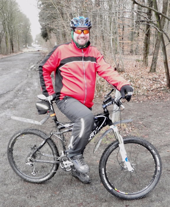
Oehli |
Commentaires

Tracks GPS
Trackpoints-
GPX / Garmin Map Source (gpx) download
-
TCX / Garmin Training Center® (tcx) download
-
CRS / Garmin Training Center® (crs) download
-
Google Earth (kml) download
-
G7ToWin (g7t) download
-
TTQV (trk) download
-
Overlay (ovl) download
-
Fugawi (txt) download
-
Kompass (DAV) Track (tk) download
-
Feuille de tours (pdf) download
-
Original file of the author (gpx) download
More about the tour author
|
|
Oehli |
Add to my favorites
Remove from my favorites
Edit tags
Open track
My score
Rate