
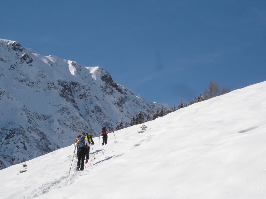

Vom Gasthaus Steinberg (Parkplatz) taleinwärts der nicht geräumten Straße in südlicher Richtung etwa 30 Minuten folgen, ehe in einem Waldstück eine Forststraße nach rechts mit Beschilderung "Steinbergstein", vorbei an der etwas versteckten Talstation der Materialseilbahn für die obere Steinbergalm abzweigt. Wir steigen in der Lichtung aufwärts, vorbei an Almgebäuden, ständig den Forstweg abkürzend, bis wir direkt unter der Materialseilbahn zur oberen Steinbergalm, 1.418m gelangen. Nach der Alm immer weiter aufwärts (Richtung West), durch einen lichten Waldgürtel und jetzt ins etwas flacher werdende Gelände bis auf den mit einem Steinmandl markierten Steinberg (ohne Gipfelkreuz).
Further information at
http://www.gasthaus-steinberg.atCarte du tour et altitude
Minimum height 883 m
Maximum height 1692 m
More about the tour author
|
|
Kagerbauer |
Commentaires

Windautal (Westendorf) bis nach Rettenbach/Hinterwindau, vorbei am Jägerhäusl zum kostenlosen Parkplatz am Gasthaus Steinberg.
Tracks GPS
Trackpoints-
GPX / Garmin Map Source (gpx) download
-
TCX / Garmin Training Center® (tcx) download
-
CRS / Garmin Training Center® (crs) download
-
Google Earth (kml) download
-
G7ToWin (g7t) download
-
TTQV (trk) download
-
Overlay (ovl) download
-
Fugawi (txt) download
-
Kompass (DAV) Track (tk) download
-
Feuille de tours (pdf) download
-
Original file of the author (gpx) download
More about the tour author
|
|
Kagerbauer |
Add to my favorites
Remove from my favorites
Edit tags
Open track
My score
Rate