
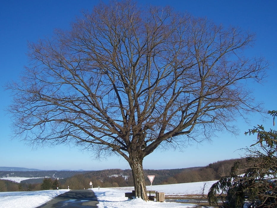

Panoramaweg von Tremersdorf nach Rottenbach und im Tal zurück. Dabei kann jeder frei wählen, ob er oben oder unten starten will. Bei gutem Wetter hat man eine schöne Sicht auf den Thüringer Wald. Da doch einige Höhenmeter zu überwinden sind, ist die Strecke nicht ganz anspruchslos. Mit dem Mountainbike ist die Strecke auch ohne weiteres machbar.
Further information at
http://www.wandern-im-coburger-land.de/lautertaler_wanderweg.htmlGalerie du tour

Carte du tour et altitude
Minimum height 187 m
Maximum height 315 m
More about the tour author
|
|
screwtapecoburg |
Commentaires

Tracks GPS
Trackpoints-
GPX / Garmin Map Source (gpx) download
-
TCX / Garmin Training Center® (tcx) download
-
CRS / Garmin Training Center® (crs) download
-
Google Earth (kml) download
-
G7ToWin (g7t) download
-
TTQV (trk) download
-
Overlay (ovl) download
-
Fugawi (txt) download
-
Kompass (DAV) Track (tk) download
-
Feuille de tours (pdf) download
-
Original file of the author (gpx) download
More about the tour author
|
|
screwtapecoburg |
Add to my favorites
Remove from my favorites
Edit tags
Open track
My score
Rate