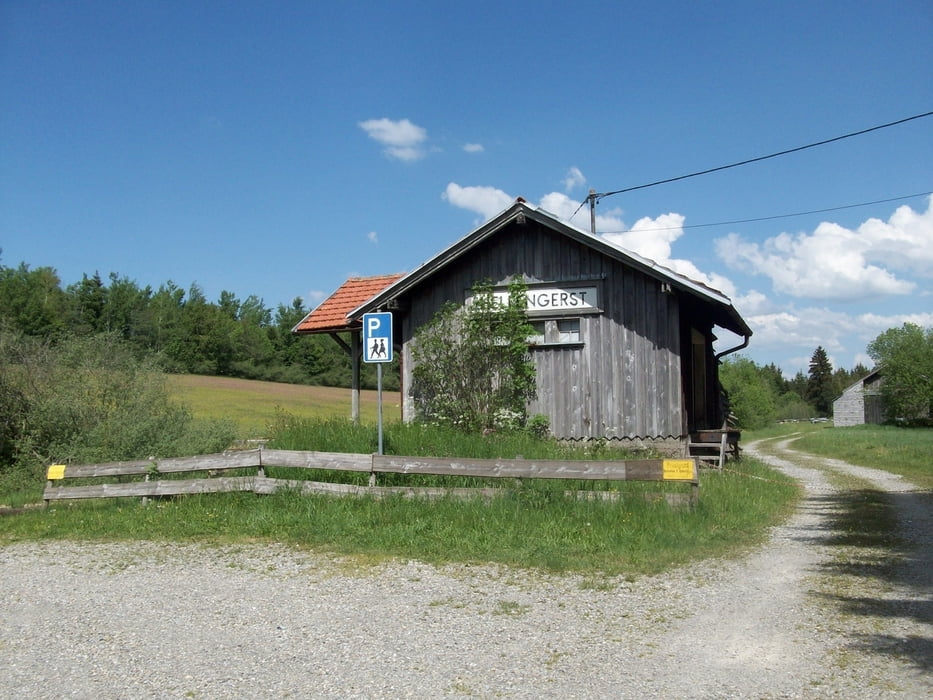
Große Mountainbikerunde im Westen Kemptens
Start:
- Parkplatz an der B12 bei Hellengerst
- bei Hub nach rechts auf das Sonneneck
- an der Ruine Alttrauchburg vorbei nach Kleinweiler hinab
- Auffahrt zum Schwarzen Grat
- Abfahrt ins Eschachthal
- am Gasthof Batschen vorbei gehts wieder hoch zu kl. Schwedenschanze
- über Wölfsberg und Wirtsberg hinunter nach Schmidsfelden
- Auffahrt nach Walkenberg und durch den Hohentanner Wald
- über Wiggensbach und Buchenberg zurück zum Ausgangspunkt
Galerie du tour
Carte du tour et altitude
Minimum height 735 m
Maximum height 1100 m
Commentaires
Tracks GPS
Trackpoints-
GPX / Garmin Map Source (gpx) download
-
TCX / Garmin Training Center® (tcx) download
-
CRS / Garmin Training Center® (crs) download
-
Google Earth (kml) download
-
G7ToWin (g7t) download
-
TTQV (trk) download
-
Overlay (ovl) download
-
Fugawi (txt) download
-
Kompass (DAV) Track (tk) download
-
Feuille de tours (pdf) download
-
Original file of the author (gpx) download
Add to my favorites
Remove from my favorites
Edit tags
Open track
My score
Rate


Höhenmeter