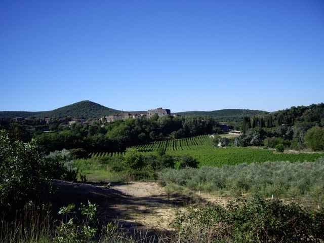
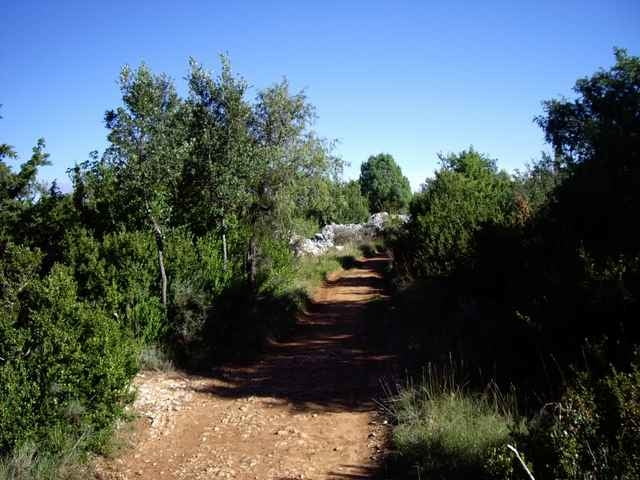
Vom schönen mittelalterlichen Dorf LABASTIDE DE VIRAC durch die Weinberge hinauf durch den Steinwald "Bois de Saleyron" zurück nach LABASTIDE DE VIRAC durch eine herrliche Landschaft. Im Frühjahr die südfranzösische Wärme und die üppige Blütenpracht oder im Oktober das milde Klima, die herrlichen Herbstfarben der Weinberge und Wälder.
Further information at
http://labastidedevirac.free.fr/galeriephotos.htmlGalerie du tour
Carte du tour et altitude
Minimum height 229 m
Maximum height 406 m
Commentaires

Tracks GPS
Trackpoints-
GPX / Garmin Map Source (gpx) download
-
TCX / Garmin Training Center® (tcx) download
-
CRS / Garmin Training Center® (crs) download
-
Google Earth (kml) download
-
G7ToWin (g7t) download
-
TTQV (trk) download
-
Overlay (ovl) download
-
Fugawi (txt) download
-
Kompass (DAV) Track (tk) download
-
Feuille de tours (pdf) download
-
Original file of the author (gpx) download
Add to my favorites
Remove from my favorites
Edit tags
Open track
My score
Rate


