

Von Thiersheim aus geht es über die Waldgaststätte Steinhaus (www.steinhaus-gasthaus.de)
eine urige und gemütliche Gaststätte mit schönem Biergarten und Nichtraucher-Innenräumen auf den Steinberg, eine doppelgipfelige Basaltkuppe am Ostrand der inneren Hochebene des Fichtelgebirges. Vom Fuße des Steinberges sieht man Hohenberg mit seiner trutzigen Burganlage als weithin sichtbares Wahrzeichen.
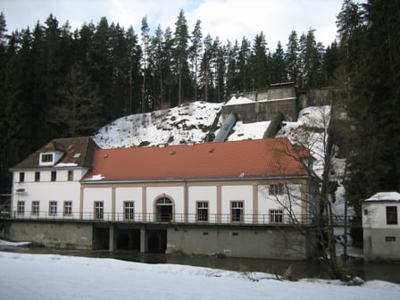
Übers Weller- und Blumenthal verläuft ein Wanderweg durch ein verträumtes und und romantisches Tal, entlang der ruhig dahinfließenden Eger.
Galerie du tour


Carte du tour et altitude
Minimum height 445 m
Maximum height 730 m
More about the tour author
|
|
Bernd-Ghostbiker |
Commentaires

Startpunkt ist Thiersheim. Anreise per PKW: aus Richtung Regensburg - Weiden A 93 in Richtung Berlin Ausfahrt Thiersheim aus Richtung Nürnberg - Bayreuth A 9 in Richtung Berlin Ausfahrt Bad Berneck und dann durch das Fichtelgebirge über Tröstau, Wunsiedel, Marktredwitz nach Thiersheim oder Ausfahrt Gefrees über Weißenstadt, Röslau, Bernstein nach Thiersheim.
Tracks GPS
Trackpoints-
GPX / Garmin Map Source (gpx) download
-
TCX / Garmin Training Center® (tcx) download
-
CRS / Garmin Training Center® (crs) download
-
Google Earth (kml) download
-
G7ToWin (g7t) download
-
TTQV (trk) download
-
Overlay (ovl) download
-
Fugawi (txt) download
-
Kompass (DAV) Track (tk) download
-
Feuille de tours (pdf) download
-
Original file of the author (gpx) download
More about the tour author
|
|
Bernd-Ghostbiker |
Add to my favorites
Remove from my favorites
Edit tags
Open track
My score
Rate