Login

Login oublié ?

Cookies have to be accepted!
Your browser's cookie functionality is disabled. Please enable this functionality.

Not a member yet?

Register now
Login

Available for registred users only

Log in to use this feature.

Login oublié ?

Cookies have to be accepted!
Your browser's cookie functionality is disabled. Please enable this functionality.

Not a member yet?

Register now
Filter
Catégories
Advanced filters
  • Longueur (km)
  • Altimètre
Enregistrer le filtre Reset filter

TrackRank

QRCode

Technical data

Longueur55,4 km Altimètre678 m Way down660 m Durée02:40 h:m Date03.04.2010
Evaluations Author User Paysage Aspect amusement Condition Technique

Statistiques

574 Vues 1 Evaluation 84 Téléchargements 3.00 Moyenne
Rate
  • Feuille de tours
  • Arrivée
  • Téléchargements

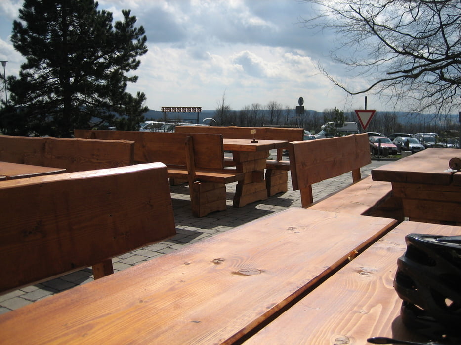
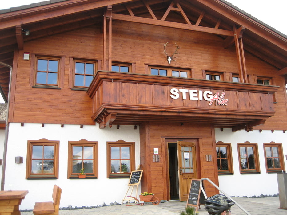
Schöne Sonntagstour quer durch den Westerwald,vorbei am Secker Weiher und Wiesensee,anschließend Einkehrschwung auf der Steigalm im Tierpark Bad Marienberg.

Further information at

http://www.steig-alm.de

Galerie du tour

Carte du tour et altitude

  • Open Street Map
  • Google
Minimum height 292 m Maximum height 491 m Vue de détail

More about the tour author

torti40
Member since 2009

Send private message

Commentaires

Tracks GPS

Trackpoints
  • GPX / Garmin Map Source (gpx) download
  • TCX / Garmin Training Center® (tcx) download
  • CRS / Garmin Training Center® (crs) download
  • Google Earth (kml) download
  • G7ToWin (g7t) download
  • TTQV (trk) download
  • Overlay (ovl) download
  • Fugawi (txt) download
  • Kompass (DAV) Track (tk) download
  • Feuille de tours (pdf) download
  • Original file of the author (gpx) download

More about the tour author

torti40
Member since 2009

Send private message
Share track
Add to my favorites
Remove from my favorites
Edit tags
My score
Rate
Tour: über den Secker Weiher und Wiesensee zur Steigalm
Cat.: Mountainbike
Longueur: 55,4 km
Evaluated on:
Durée:
Day(s)
Hour(s)
Minute(s)
Evaluation: Paysage Aspect amusement Condition Technique