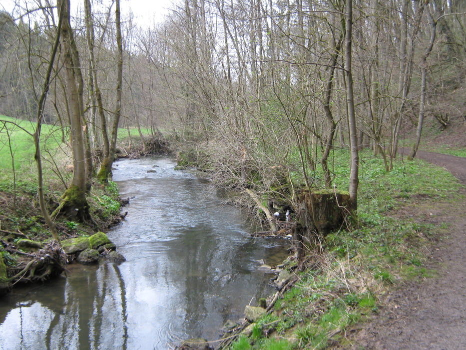
Zuerst durch das NSG Buchenbachtal,entlang des Baches bis nach Wolfsölden. Auf der Hochfläche durch den Wald (Grillplatz mit Hütte) bis nach Affalterbach, weiter bis nach Neuhof. Dort hinab zum Bahnhof in Kirchberg a.d.Murr. Zuerst durchs Tal der Murr, später an der Hangkante weiter zurück nach Wolfsölden und am Buchenbach entlang zurück zum Ausgangspunkt.
Galerie du tour
Carte du tour et altitude
Minimum height 168 m
Maximum height 320 m
Commentaires

Von Winnenden Richtung Affalterbach, rechts Richtung Weiler zum Stein/Gollenhof. An dessen Ende dem Schild Kläranlage folgen, dort auf dem Wanderparkplatz parken.
Tracks GPS
Trackpoints-
GPX / Garmin Map Source (gpx) download
-
TCX / Garmin Training Center® (tcx) download
-
CRS / Garmin Training Center® (crs) download
-
Google Earth (kml) download
-
G7ToWin (g7t) download
-
TTQV (trk) download
-
Overlay (ovl) download
-
Fugawi (txt) download
-
Kompass (DAV) Track (tk) download
-
Feuille de tours (pdf) download
-
Original file of the author (gpx) download
Add to my favorites
Remove from my favorites
Edit tags
Open track
My score
Rate


