


Eine (aus der Sicht des Westfalens) herrliche Tour während unseres Oktober-Urlaubs 2009 im Spessart.
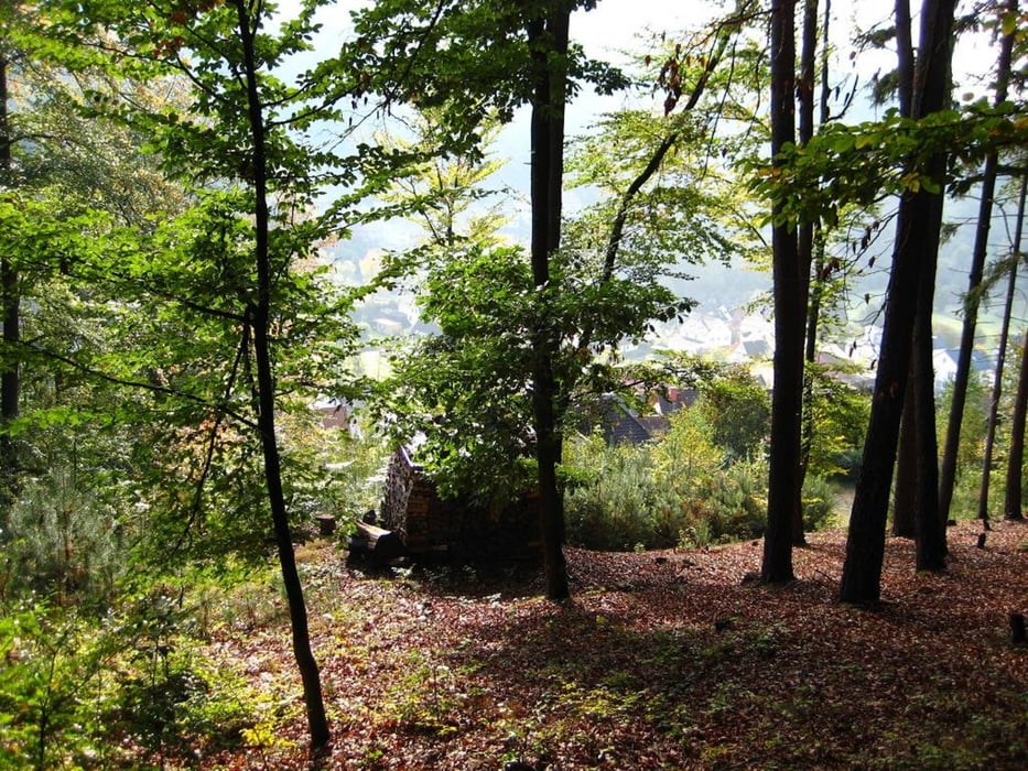
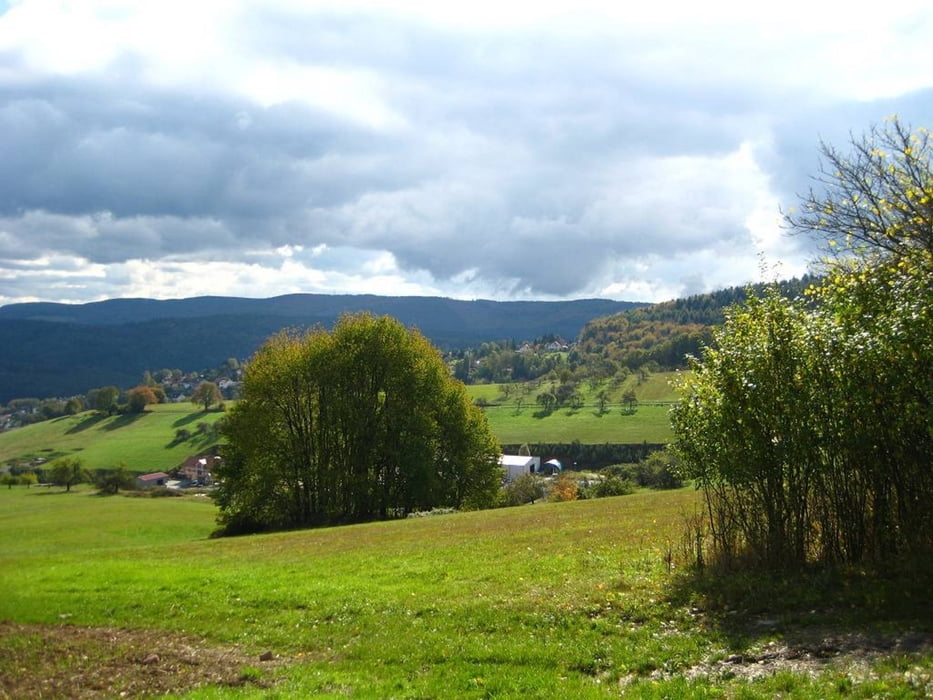
Sehr abwechselungsreiche Wanderung mit Spessart-typischen Waldpassagen, breiten Pfaden, einem Tiergehege, der Kapelle in Heimathenhof, wunderschönen Weitblicken und mittleren Höhendifferenzen. Wer nicht viel klettern möchte, kann die in einer Vielzahl vorhandenen Alternativwege nehmen (Navi nutzen).
Ausgangs- und Endpunkt ist der kostenfreie Parkplatz am Hotel "Lamm" in Heimbuchenthal, wo auch eingekehrt werden kann.
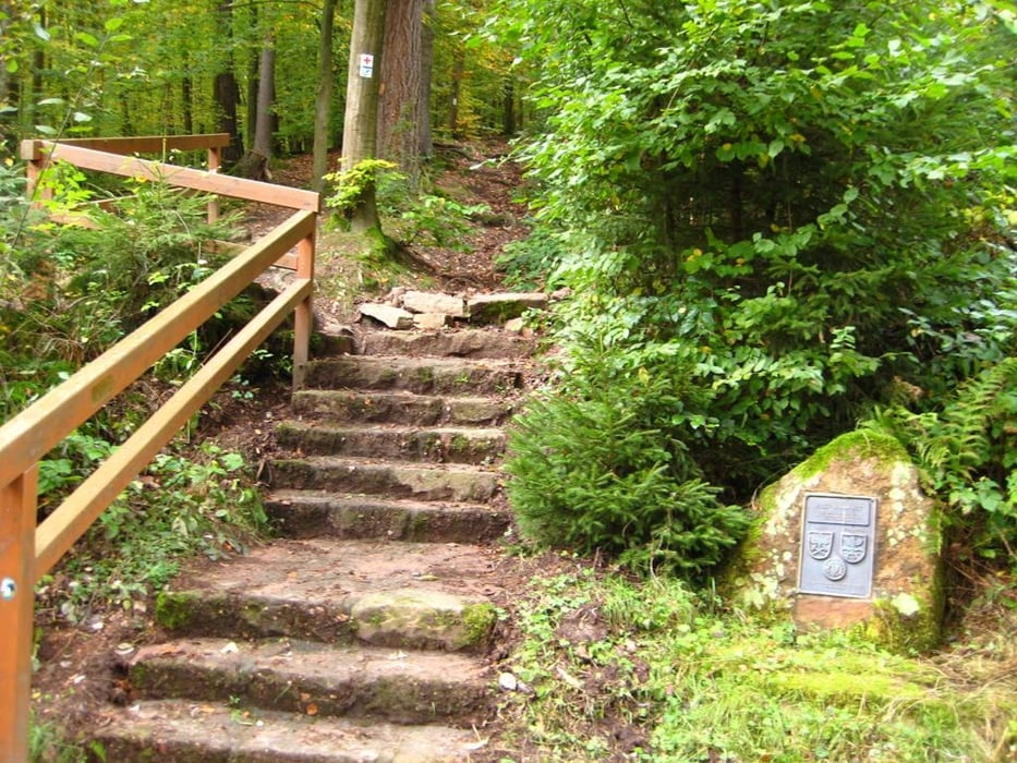
Die Wege sind gut begehbar, der Abstieg zum "Höllhammer" erfordert festes Schuhwerk und für den Wanderer gute "Abstiegsfähigkeiten", vor allem, wenn es regnet und rutschig ist.
Die Wanderzeit beträgt mit gutem Tempo knapp 4 Stunden, bei ausgiebigen Pausen auch zwischen 4,5 bis 5 Stunden.
Further information at
http://www.naturpark-spessart.de/Galerie du tour

Carte du tour et altitude
Minimum height 182 m
Maximum height 433 m
More about the tour author
|
|
gelfir200 |
Commentaires

Start und Ziel ist der kostenlose Parkplatz am Gasthaus/ Hotel "Lamm" in Heimbuchenthal. Hier stehen ausreichend Parkplätze zur Verfügung.
Koordinaten: N49 53.800 E9 18.220
Tracks GPS
Trackpoints-
GPX / Garmin Map Source (gpx) download
-
TCX / Garmin Training Center® (tcx) download
-
CRS / Garmin Training Center® (crs) download
-
Google Earth (kml) download
-
G7ToWin (g7t) download
-
TTQV (trk) download
-
Overlay (ovl) download
-
Fugawi (txt) download
-
Kompass (DAV) Track (tk) download
-
Feuille de tours (pdf) download
-
Original file of the author (gpx) download
More about the tour author
|
|
gelfir200 |
Add to my favorites
Remove from my favorites
Edit tags
Open track
My score
Rate