


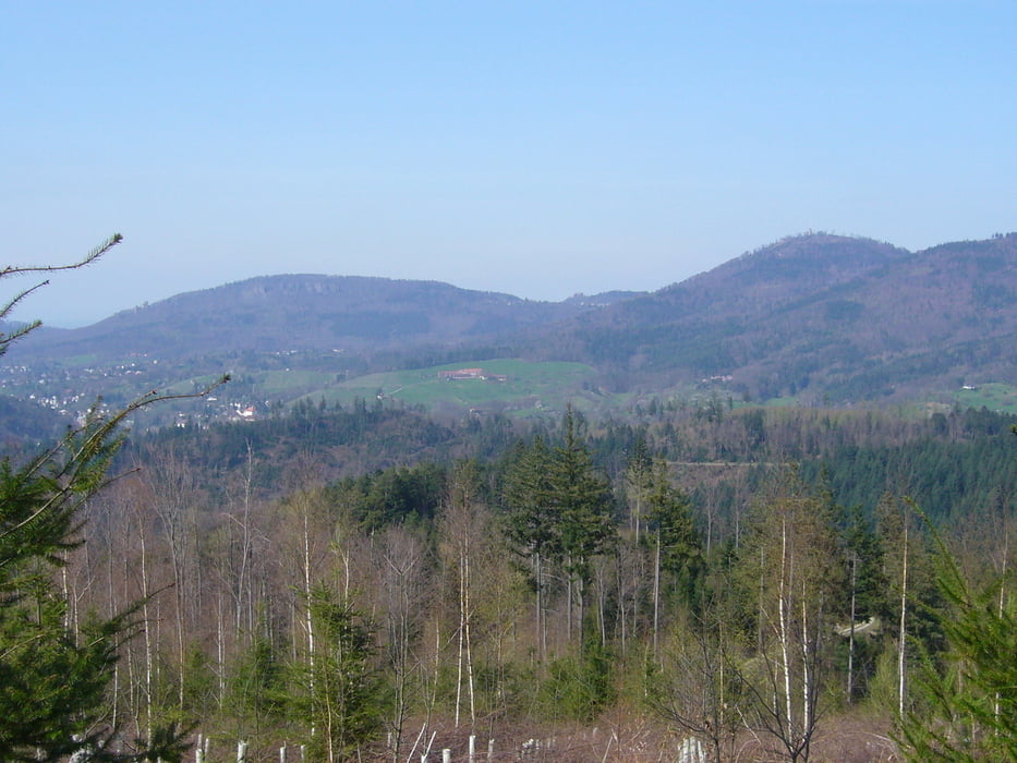
Ab Rastatt abseits vom großen Verkehr nach BAD, über Wildgehege, Nachtigall zur Roten Lache. Strecke bergauf zur Roten Lache immer auf der Sonnenseite, also auch bei kühlen Temperaturen mit Sonnenschein gut zu befahren. Keine brutalen Anstiege, immer gemächlich aufwärts bis auf ca. 700 m.
Einkehrmöglichkeit im Gasthaus "Rote Lache" oder im "Scherrhof", der nur ein paar Kilometer auf ungefähr gleicher Höhe liegt. (Ruhetage Anfang der Woche?)
Steile Abfahrt Richtung BAD-Lichtental. Wieder unten gehts durch die weltberühmte Lichtentaler Allee mitten durch BAD über Balg und Haueneberstein zurück über landwirtschaftliche Wege nach Rastatt.
Galerie du tour
Carte du tour et altitude
Minimum height 38 m
Maximum height 716 m
More about the tour author
|
|
reinengel |
Commentaires

Tracks GPS
Trackpoints-
GPX / Garmin Map Source (gpx) download
-
TCX / Garmin Training Center® (tcx) download
-
CRS / Garmin Training Center® (crs) download
-
Google Earth (kml) download
-
G7ToWin (g7t) download
-
TTQV (trk) download
-
Overlay (ovl) download
-
Fugawi (txt) download
-
Kompass (DAV) Track (tk) download
-
Feuille de tours (pdf) download
-
Original file of the author (gpx) download
More about the tour author
|
|
reinengel |
Add to my favorites
Remove from my favorites
Edit tags
Open track
My score
Rate