


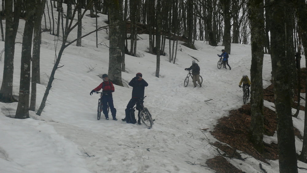
Startpunkt ist Rifugio Casa vacanza Asqua, www.asqua.it. Von dort gehts erst 500m auf einem Forstweg aufwärst. Dann beginnt eine 200m Tragepassage - weiter mit mehreren Kilometer Singeltrails. Zwischenstopp beim Eremo di Camaldoli - ne Latte macchiato im Klosterladen. Dann gehts weiter aufwärts - überwiegend Singeltrails fahrbar oder zum schieben. Und dann nach erreichen des 1395 hohen Poggio Tre Confini - gehts es 4 km abwärts -Singltrial - technisch anspruchsvoll - fun pur! Zielpunkt in dieser Etappe, die ALBERGO LA FORESTA in Badia Prataglia.
Galerie du tour


Carte du tour et altitude
Minimum height 840 m
Maximum height 1367 m
More about the tour author

|
seemolch |
Commentaires

Tracks GPS
Trackpoints-
GPX / Garmin Map Source (gpx) download
-
TCX / Garmin Training Center® (tcx) download
-
CRS / Garmin Training Center® (crs) download
-
Google Earth (kml) download
-
G7ToWin (g7t) download
-
TTQV (trk) download
-
Overlay (ovl) download
-
Fugawi (txt) download
-
Kompass (DAV) Track (tk) download
-
Feuille de tours (pdf) download
-
Original file of the author (gpx) download
More about the tour author
|
|
seemolch |
Add to my favorites
Remove from my favorites
Edit tags
Open track
My score
Rate