Login

Login oublié ?

Cookies have to be accepted!
Your browser's cookie functionality is disabled. Please enable this functionality.

Not a member yet?

Register now
Login

Available for registred users only

Log in to use this feature.

Login oublié ?

Cookies have to be accepted!
Your browser's cookie functionality is disabled. Please enable this functionality.

Not a member yet?

Register now
Filter
Catégories
Advanced filters
  • Longueur (km)
  • Altimètre
Enregistrer le filtre Reset filter

TrackRank

QRCode

Technical data

Longueur57,8 km Altimètre158 m Way down166 m Durée04:00 h:m Date18.04.2010
Evaluations Author Paysage Aspect amusement Condition Technique

Statistiques

262 Vues Evaluations 29 Téléchargements Moyenne
Rate
  • Feuille de tours
  • Arrivée
  • Téléchargements

Further information at

http://thorsten-bachner.de

Galerie du tour

Carte du tour et altitude

  • Open Street Map
  • Google
Minimum height 21 m Maximum height 54 m Vue de détail

More about the tour author

tbachner
Member since 2007

Send private message

Commentaires

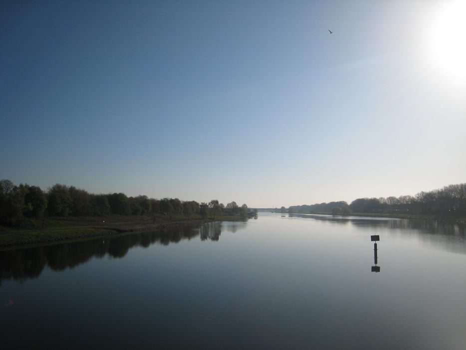
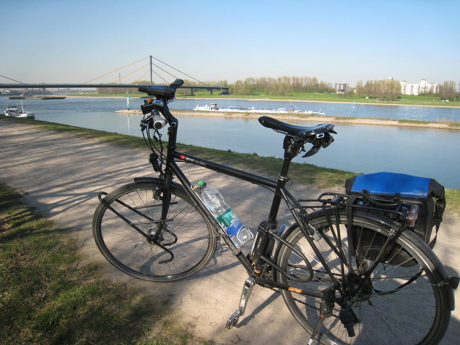
Die Tour beginnt und endet in Oberhausen im Knappenviertel. Der Track verläuft unweit des Oberhausener Hauptbahnhofs.

Weitere Bahnhöfe  in der Nähe der Strecke befinden sich in Duisburg, Meiderich und Ruhrort.  Auch Busse und Bahnen in Oberhausen und Duisburg können genutzt werden um den ein oder anderen Kilometer abzukürzen.


Tracks GPS

Trackpoints
  • GPX / Garmin Map Source (gpx) download
  • TCX / Garmin Training Center® (tcx) download
  • CRS / Garmin Training Center® (crs) download
  • Google Earth (kml) download
  • G7ToWin (g7t) download
  • TTQV (trk) download
  • Overlay (ovl) download
  • Fugawi (txt) download
  • Kompass (DAV) Track (tk) download
  • Feuille de tours (pdf) download
  • Original file of the author (gpx) download

More about the tour author

tbachner
Member since 2007

Send private message
Share track
Add to my favorites
Remove from my favorites
Edit tags
My score
Rate
Tour: Linksrheinisch nach Orsoy
Cat.: Trekkingbike
Longueur: 57,8 km
Evaluated on:
Durée:
Day(s)
Hour(s)
Minute(s)
Evaluation: Paysage Aspect amusement Condition Technique