Login

Login oublié ?

Cookies have to be accepted!
Your browser's cookie functionality is disabled. Please enable this functionality.

Not a member yet?

Register now
Login

Available for registred users only

Log in to use this feature.

Login oublié ?

Cookies have to be accepted!
Your browser's cookie functionality is disabled. Please enable this functionality.

Not a member yet?

Register now
Filter
Catégories
Advanced filters
  • Longueur (km)
  • Altimètre
Enregistrer le filtre Reset filter

TrackRank

QRCode

Technical data

Longueur58,0 km Altimètre404 m Way down401 m Durée03:12 h:m Date23.04.2010
Evaluations Author Paysage Aspect amusement Condition Technique

Statistiques

205 Vues Evaluations 25 Téléchargements Moyenne
Rate
  • Feuille de tours
  • Arrivée
  • Téléchargements

von Giesenkirchen den Klassiker Niersaufwärts, dann ab Wickrath Landstrasse über Wickrathberg, Wanlo bis Venrath. Danach den Punkten 81,82,90,89 bis 88 folgen. Achtung, der Wegweiser am Knotenpunkt 81 in Erkelenz Richtung 87 ist verdreht! Man muß genau in die Gegenrichtung. Ab Borschemich am Baggerloch entlang über Jüchen zurück. Nette Einkehrmöglichkeit in Erkelenz-Tenholt etwa auf der Mitte der Tour.
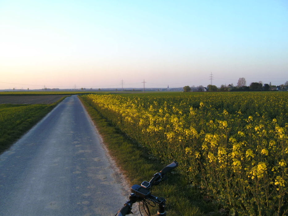
Galerie du tour

Carte du tour et altitude

  • Open Street Map
  • Google
Minimum height 45 m Maximum height 106 m Vue de détail

More about the tour author

Graf_Geo
Member since 2008

Send private message

Commentaires

Tracks GPS

Trackpoints
  • GPX / Garmin Map Source (gpx) download
  • TCX / Garmin Training Center® (tcx) download
  • CRS / Garmin Training Center® (crs) download
  • Google Earth (kml) download
  • G7ToWin (g7t) download
  • TTQV (trk) download
  • Overlay (ovl) download
  • Fugawi (txt) download
  • Kompass (DAV) Track (tk) download
  • Feuille de tours (pdf) download
  • Original file of the author (gpx) download

More about the tour author

Graf_Geo
Member since 2008

Send private message
Share track
Add to my favorites
Remove from my favorites
Edit tags
My score
Rate
Tour: Giesenkirchen-Erkelenz
Cat.: Trekkingbike
Longueur: 58,0 km
Evaluated on:
Durée:
Day(s)
Hour(s)
Minute(s)
Evaluation: Paysage Aspect amusement Condition Technique