
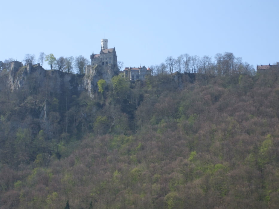

Start ist der Parkplatz am Waldrand ca. 200m von Stahleck entfernt. Zunächst in rasanter Fahrt die Steige nach Unterhausen, um nach kurzem Durchatmen die „Zahnrad-Trasse“ zum Traifelberg zu erklimmen. Auf fast ebener Strecke weiter zum Golfplatz bei Undingen und auf Nebenwegen um die Salmendinger Kapelle herum nach Erpfingen und an der Bärenhöhle vorbei (Besuch/Rast/Einkehr möglich) zum Gewerbepark Haid und Meidelstetten. Über Kleinengstingen gelangen wir zum Ausgangspunkt zurück.
Carte du tour et altitude
Minimum height 486 m
Maximum height 828 m
More about the tour author

|
hade |
Commentaires

K 6711 von Ohnastetten kommend in scharfer Linkskurve rechts abbiegen Richtung Stahleck. Nach ca. 30 m auf re. Seite befindet sich ein Parkplatz.
Tracks GPS
Trackpoints-
GPX / Garmin Map Source (gpx) download
-
TCX / Garmin Training Center® (tcx) download
-
CRS / Garmin Training Center® (crs) download
-
Google Earth (kml) download
-
G7ToWin (g7t) download
-
TTQV (trk) download
-
Overlay (ovl) download
-
Fugawi (txt) download
-
Kompass (DAV) Track (tk) download
-
Feuille de tours (pdf) download
-
Original file of the author (gpx) download
More about the tour author
|
|
hade |
Add to my favorites
Remove from my favorites
Edit tags
Open track
My score
Rate