Login

Login oublié ?

Cookies have to be accepted!
Your browser's cookie functionality is disabled. Please enable this functionality.

Not a member yet?

Register now
Login

Available for registred users only

Log in to use this feature.

Login oublié ?

Cookies have to be accepted!
Your browser's cookie functionality is disabled. Please enable this functionality.

Not a member yet?

Register now
Filter
Catégories
Advanced filters
  • Longueur (km)
  • Altimètre
Enregistrer le filtre Reset filter

TrackRank

QRCode

Technical data

Longueur21,6 km Altimètre353 m Way down352 m Durée00:00 h:m Date30.04.2010
Evaluations Author Paysage Aspect amusement Condition Technique

Statistiques

960 Vues Evaluations 99 Téléchargements Moyenne
Rate
  • Feuille de tours
  • Arrivée
  • Téléchargements

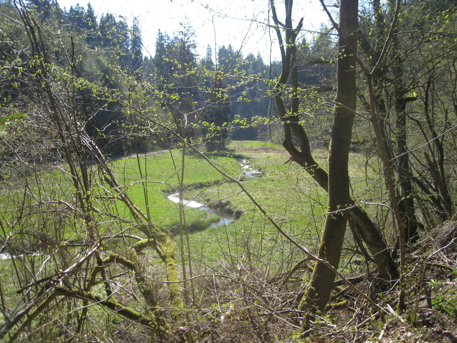
Abwechslungsreiche Wanderung durch das schattige Wadrilltal nach Kell am See und durch den Hochwald vorbei an der Ruwerquelle zurück nach Rheinsfeld. 22km.

Galerie du tour

Carte du tour et altitude

  • Open Street Map
  • Google
Minimum height 436 m Maximum height 609 m Vue de détail

More about the tour author

hase54295
Member since 2009

Send private message

Commentaires

Von Trier aus über die B52 nach Rheinsfeld Wanderparkplatz "Alter Sportplatz".

Tracks GPS

Trackpoints
  • GPX / Garmin Map Source (gpx) download
  • TCX / Garmin Training Center® (tcx) download
  • CRS / Garmin Training Center® (crs) download
  • Google Earth (kml) download
  • G7ToWin (g7t) download
  • TTQV (trk) download
  • Overlay (ovl) download
  • Fugawi (txt) download
  • Kompass (DAV) Track (tk) download
  • Feuille de tours (pdf) download
  • Original file of the author (gpx) download

More about the tour author

hase54295
Member since 2009

Send private message
Share track
Add to my favorites
Remove from my favorites
Edit tags
My score
Rate
Tour: Rundweg Wadrilltal-Rheinsfeld-Ruwerquelle
Cat.: Randonnées
Longueur: 21,6 km
Evaluated on:
Durée:
Day(s)
Hour(s)
Minute(s)
Evaluation: Paysage Aspect amusement Condition Technique