Login

Login oublié ?

Cookies have to be accepted!
Your browser's cookie functionality is disabled. Please enable this functionality.

Not a member yet?

Register now
Login

Available for registred users only

Log in to use this feature.

Login oublié ?

Cookies have to be accepted!
Your browser's cookie functionality is disabled. Please enable this functionality.

Not a member yet?

Register now
Filter
Catégories
Advanced filters
  • Longueur (km)
  • Altimètre
Enregistrer le filtre Reset filter

TrackRank

QRCode

Technical data

Longueur199,6 km Altimètre1085 m Way down1093 m Durée10:51 h:m Date02.05.2010
Evaluations Author Paysage Aspect amusement Condition Technique

Statistiques

166 Vues Evaluations 9 Téléchargements Moyenne
Rate
  • Feuille de tours
  • Arrivée
  • Téléchargements

 von Bornheim am Rhein entlang bis Brohl, dort abbiegen Richtung Laacher See. Hinter Tönissteiner Sprudel in Richtung Kell abbiegen. Von dort weiter nach Ochtendung um von da über eine stillgelegte Eisenbahntrasse nach Münstermaifeld zu fahren. 

Von dort durch das Schrumpftal runter an die Mosel und an Mosel und Rhein zurück nach Bornheim.
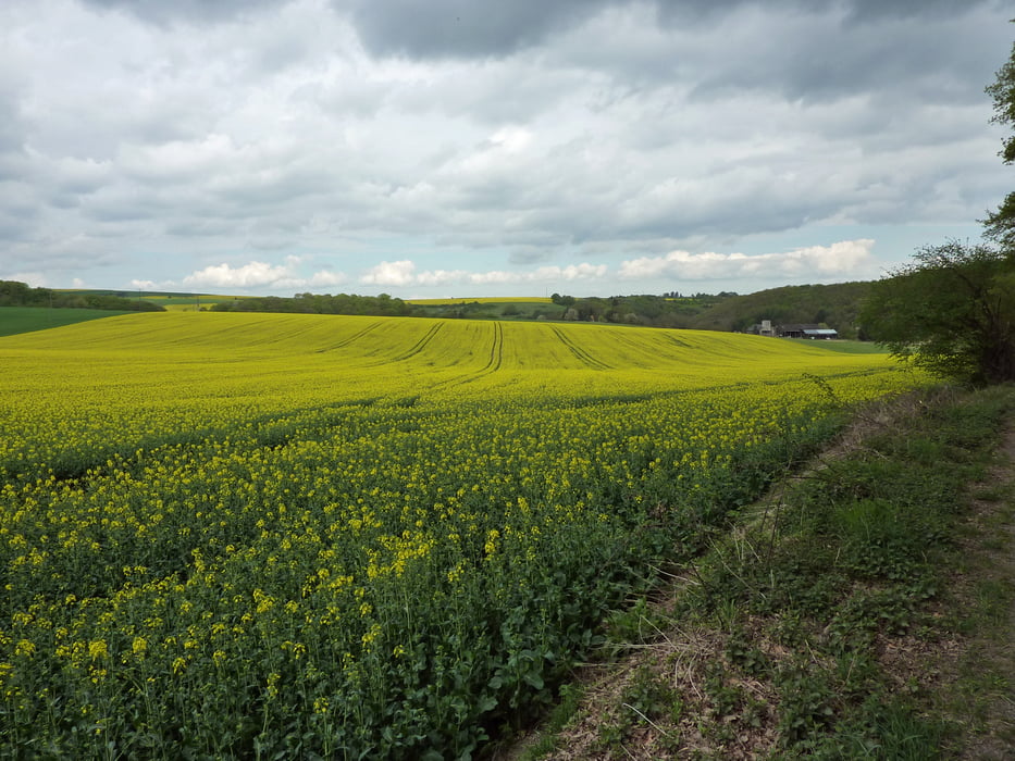
Galerie du tour

Carte du tour et altitude

  • Open Street Map
  • Google
Minimum height 50 m Maximum height 300 m Vue de détail

More about the tour author

Liegeradfahrer
Member since 2007

Send private message

Commentaires

 Kann man überall am Rhein starten.

Tracks GPS

Trackpoints
  • GPX / Garmin Map Source (gpx) download
  • TCX / Garmin Training Center® (tcx) download
  • CRS / Garmin Training Center® (crs) download
  • Google Earth (kml) download
  • G7ToWin (g7t) download
  • TTQV (trk) download
  • Overlay (ovl) download
  • Fugawi (txt) download
  • Kompass (DAV) Track (tk) download
  • Feuille de tours (pdf) download
  • Original file of the author (gpx) download

More about the tour author

Liegeradfahrer
Member since 2007

Send private message
Share track
Add to my favorites
Remove from my favorites
Edit tags
My score
Rate
Tour: Maitour nach Münstermaifeld
Cat.: Trekkingbike
Longueur: 199,6 km
Evaluated on:
Durée:
Day(s)
Hour(s)
Minute(s)
Evaluation: Paysage Aspect amusement Condition Technique